Summiting Kilimanjaro
This is a case study of a successful Kilimanjaro summit ascent via the Machame route in January 2017.

Originally published January 12, 2017
Booking a climb
OPTION 1: Book online – there are many trekking companies to choose from.
OPTION 2: Book in-person after you arrive in Tanzania. This is the approach I took. The benefit was that I saved a few hundred dollars through bargaining with various vendors. Booking after you arrive requires a bit of flexibility in terms of which company you go with. You also have to spend about a half day sorting out the necessary logistics.
Permits and fees
Climbing Kilimanjaro is not cheap. You should budget a minimum of $2000 USD + airfare.
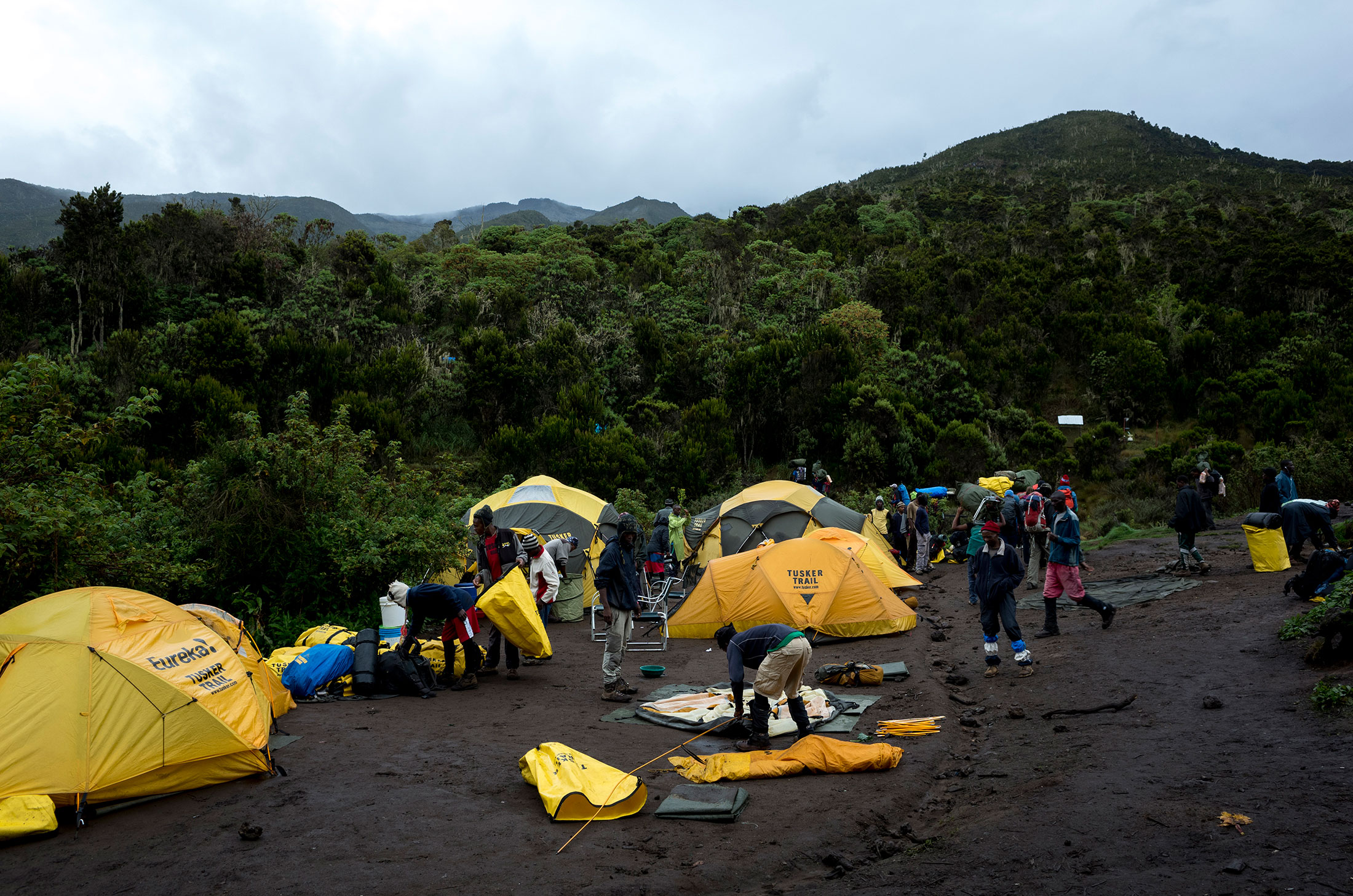
The biggest expense by far is the government park fee. See below for a 2018 fee schedule. These fees are generally included in the cost of a climb when you book online and are paid by your group leader at the park gate. My experience was a little different, because I booked in-person and joined a group of trekkers from Poland last-minute.
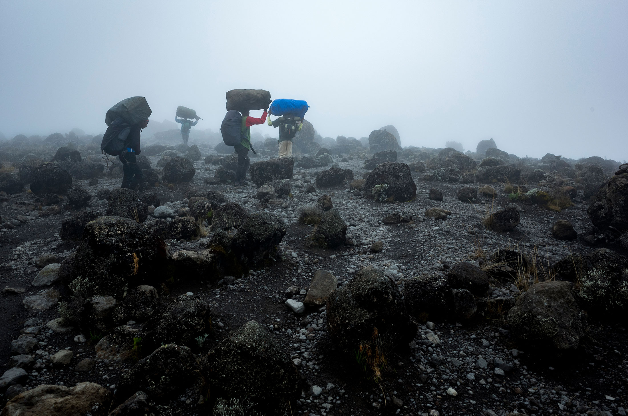
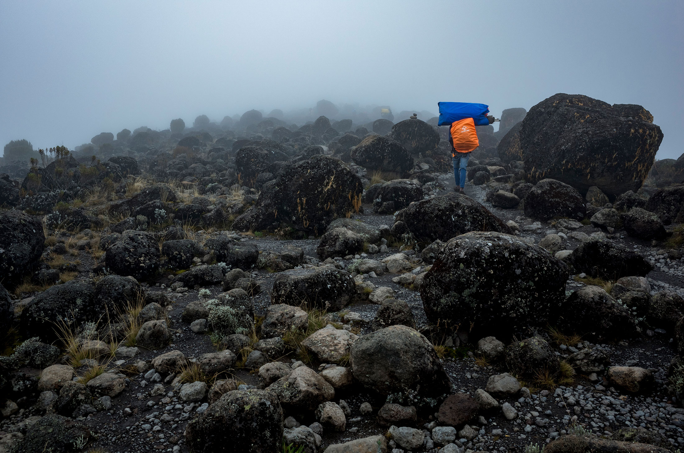
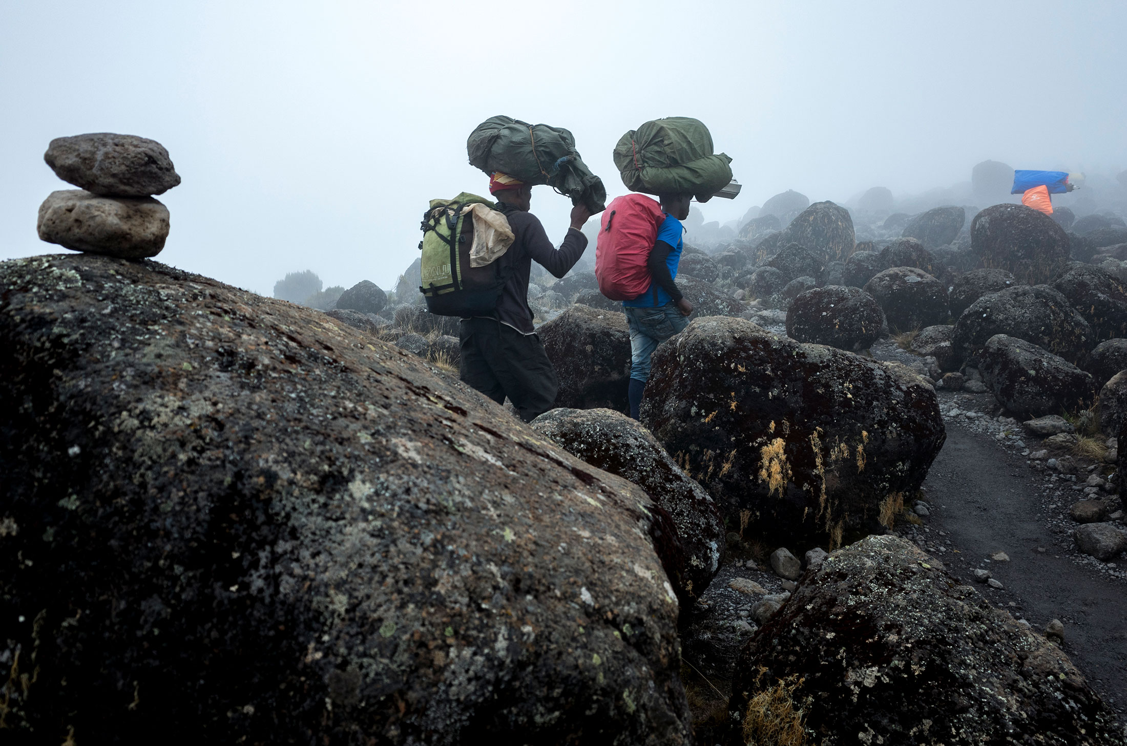
The total cost for my 6 day Machame route climb was $1,400 USD. I withdrew $600 in TZS from an ATM in Moshi and paid it directly to the trekking company. That meant I paid ~$100/day for a tent rental, 3 meals/day and the staff who accompanied our group – i.e. porters, guides and cooks. At the Kilimanjaro gate, I paid my own park fee of ~$800 by credit card.
Park fees:
- Machame 6 days = USD 814.20 per trekker
- Machame 7 days = USD 955.80 per trekker
- Lemosho 7 days = USD 955.80 per trekker
- Lemosho 8 days = USD 1097.40 per trekker
- Marangu 5 days = USD 719.80 per trekker
- Marangu 6 days = USD 873.20 per trekker
- Rongai 6 days = USD 814.20 per trekker
- Rongai 7 days = USD 955.80 per trekker
- Umbwe 6 days = USD 814.20 per trekker
- Umbwe 7 days = USD 955.80 per trekker
Equipment
- Climbing pack (50L+)
- Sleeping bag (I use the Feathered Friends Vireo sleeping system with a puffy.)
- Approach shoes or basic hiking boots
- LED headlamp with extra set of batteries
Clothing
- Quick-dry underwear
- Wool socks (The Fox River socks were awesome. Will buy more.)
- Wool base layer
- Soft-shell pants
- Hard-shell pants (I brought these but never used them. Didn’t rain.)
- Soft-shell jacket
- Hard-shell jacket
- Beanie (I wore this at night for more efficient heat regulation.)
- Balaclava (I WISH I had brought one. The ascent was COLD!)
- Puffy with hood
- Liner gloves (Important during the cold, early morning ascent.)
- Heavy-insulated shell gloves (I WISH I had brought these. Got frostnip on the fingertips.)
- Midweight waterproof gloves
Personal items
- Glacier glasses (Don’t burn your corneas!)
- Water treatment device
- TP
- Sunblock
- Lip balm
- First-aid kit
- Large, white compactor garbage bag for lining pack
- Photo ID
Food and water
- 2L+ water
- Trail food for 6+ days (there was not a great selection in Moshi or Arusha)
Tip: It is often cold enough that water and some food – e.g. RX bars – will freeze during your early morning summit bid. Water bottles freeze starting at the top. You can turn your bottle upside down in or on your pack to help ensure you have some liquid to drink and can unscrew the lid.
Arrival experience
I arrived at the Kilimanjaro airport without having booked the trek or a hotel in advance. The cost of a taxi from JRO airport to Moshi – about an hour drive – was $50 USD, non-negotiable. Most other visitors that landed with me at JRO used pre-arranged airport transfer services through trekking companies or hotels at a similar or slightly higher price.
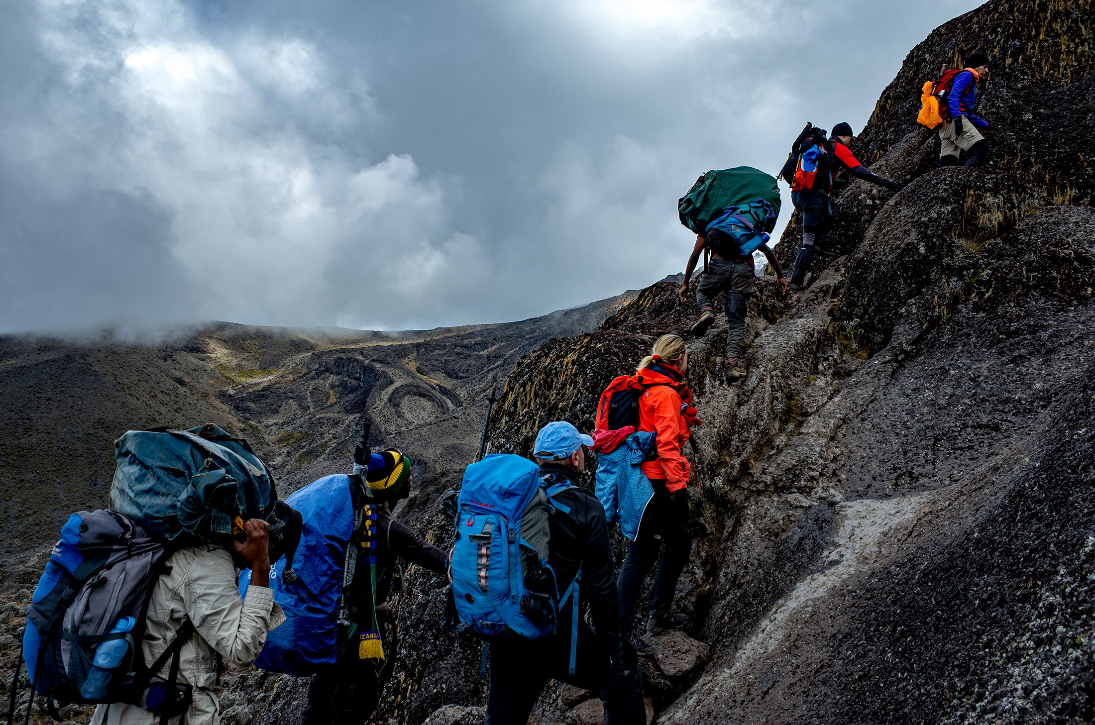
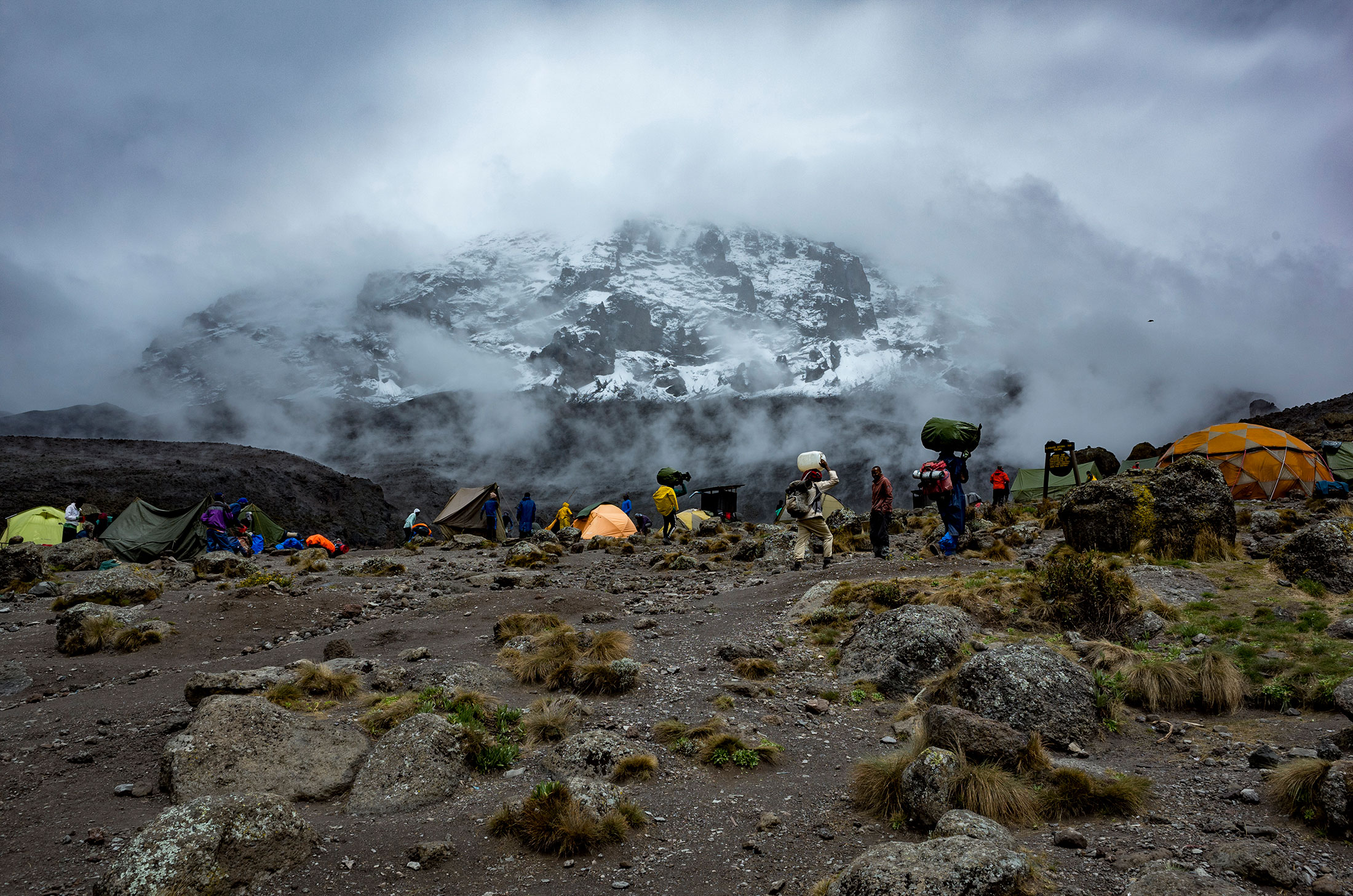
Ascent – Overall 6 days
Route: Machame
Distance: 49km (30mi)
Starting elevation: 1,828m (5,997ft)
Summit elevation: 5,895m (19,345ft)
Elevation gain: 4,067m (13,343ft)
Time: 6 days
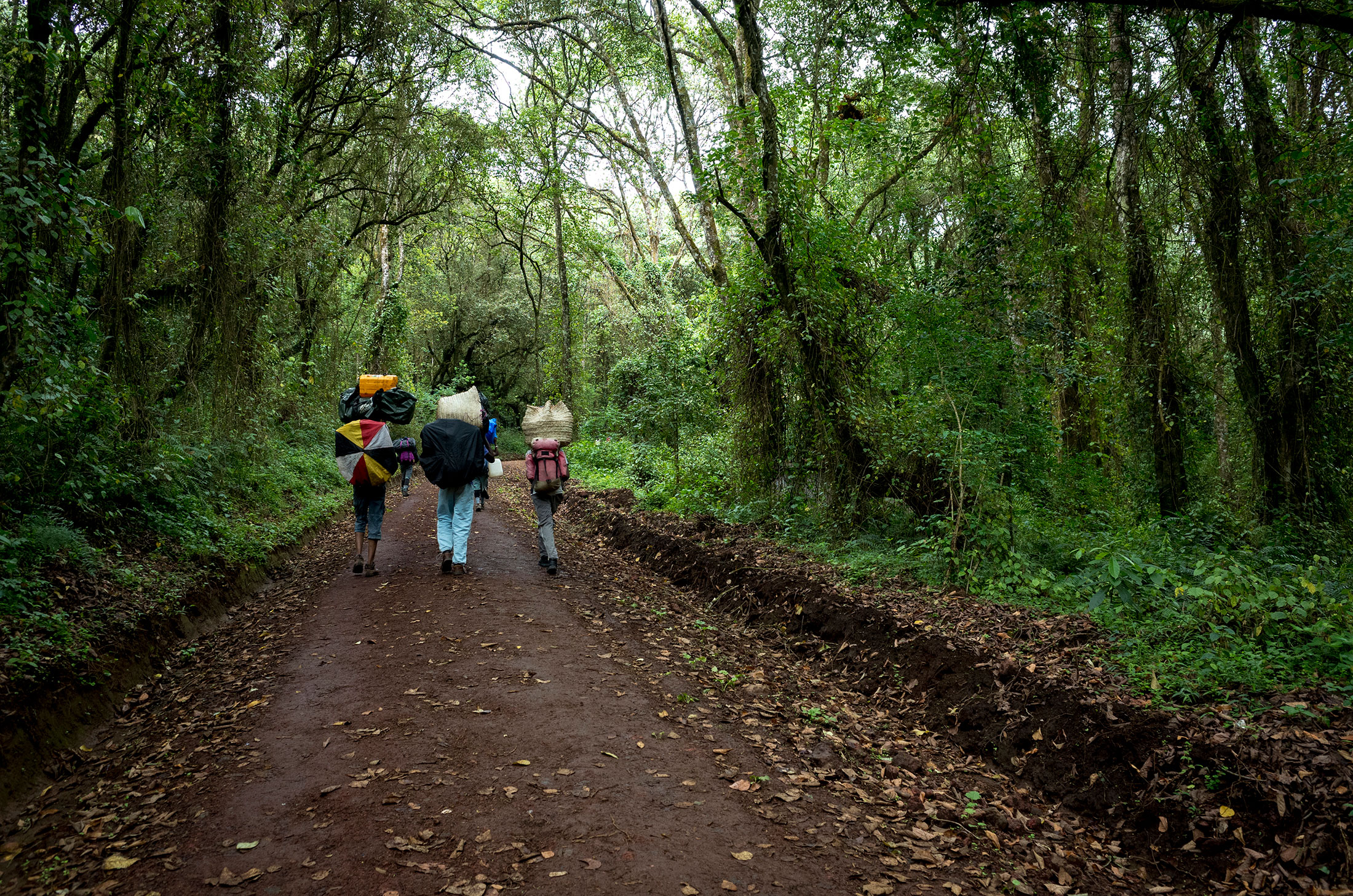
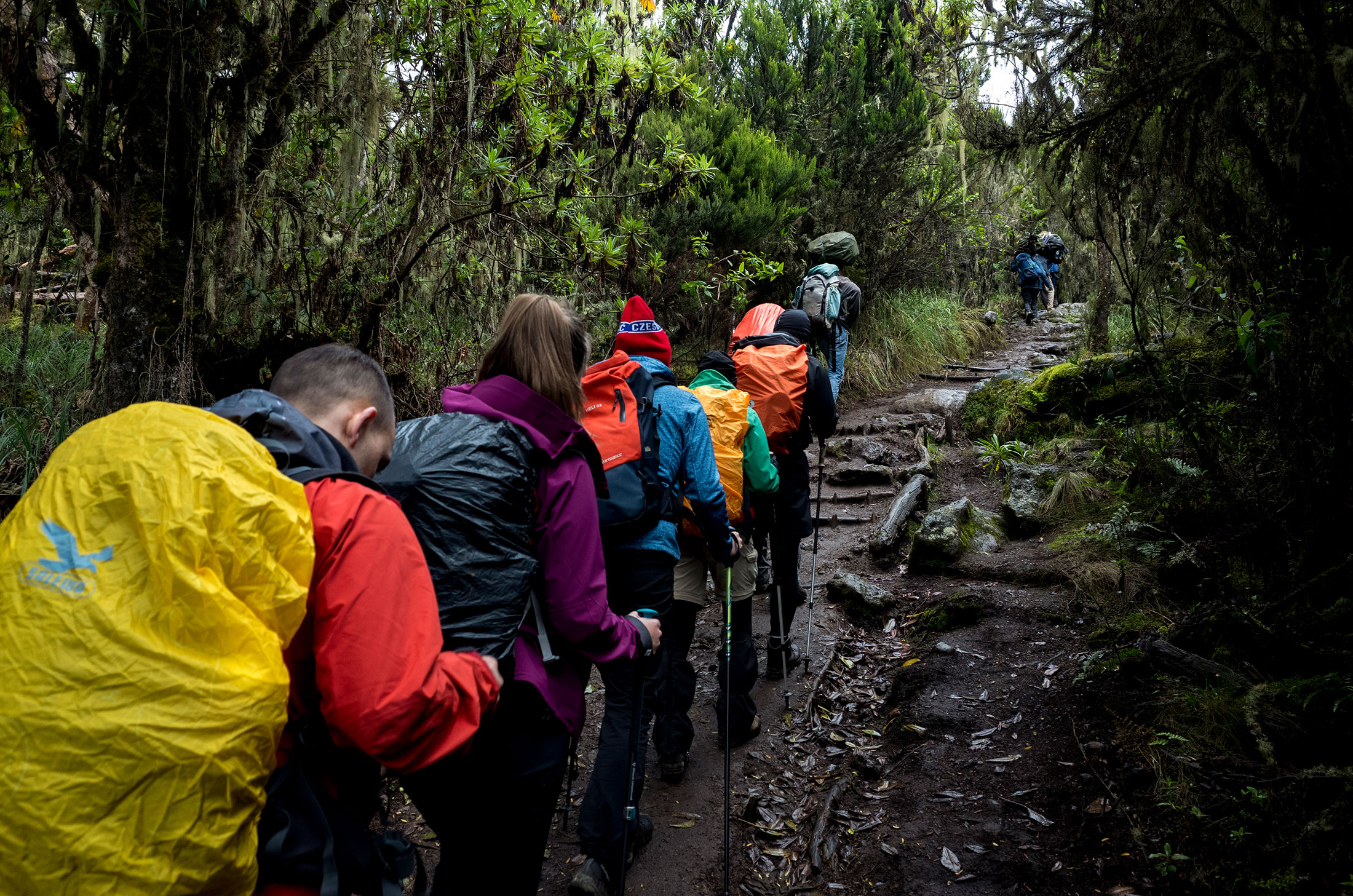
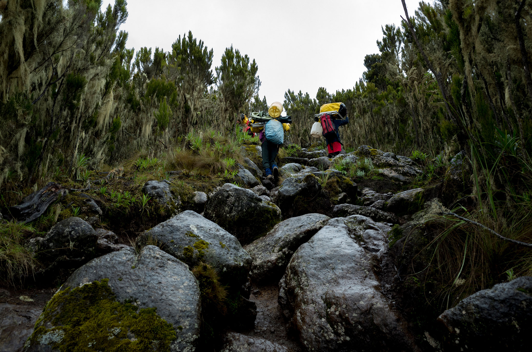
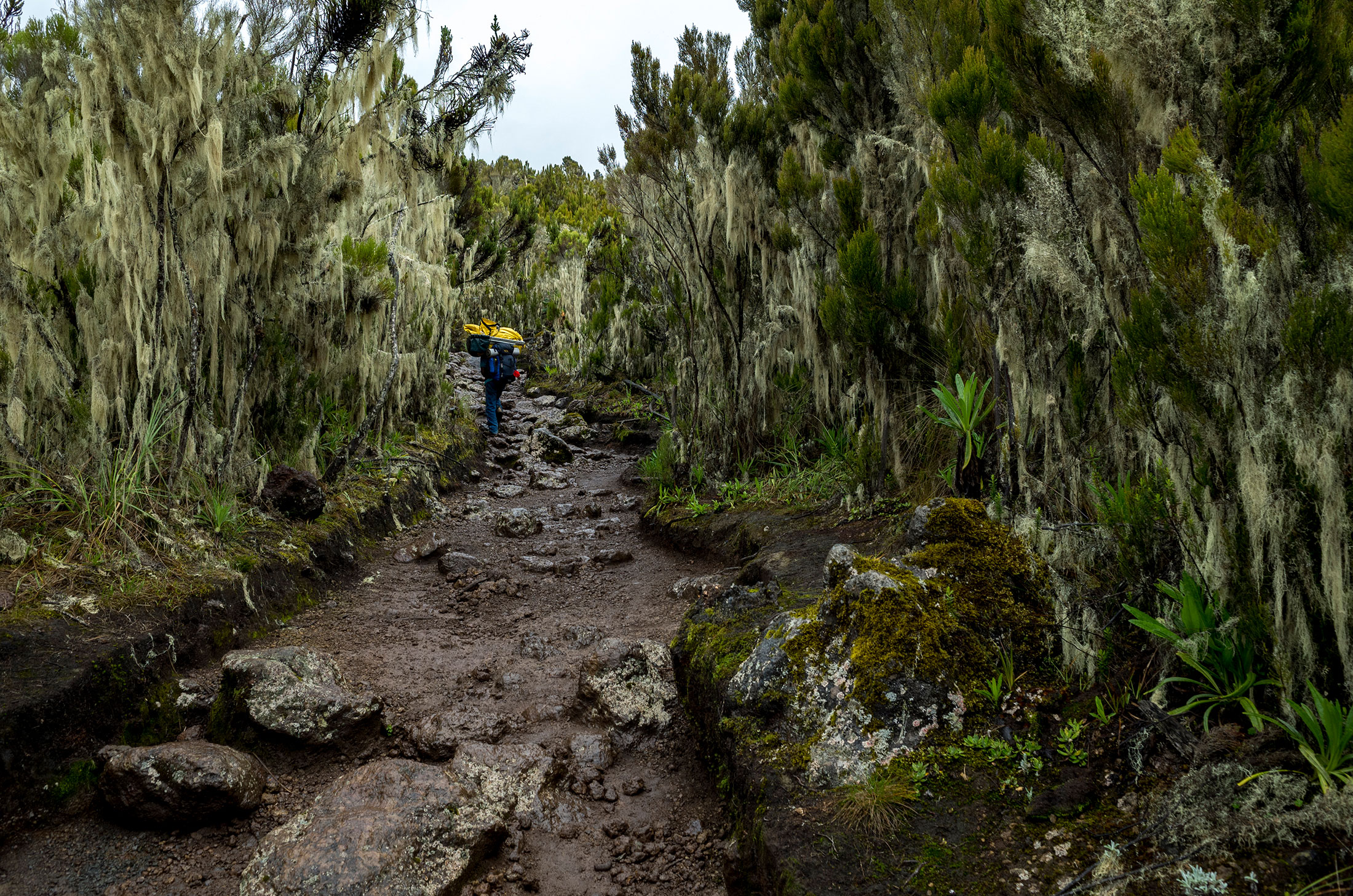
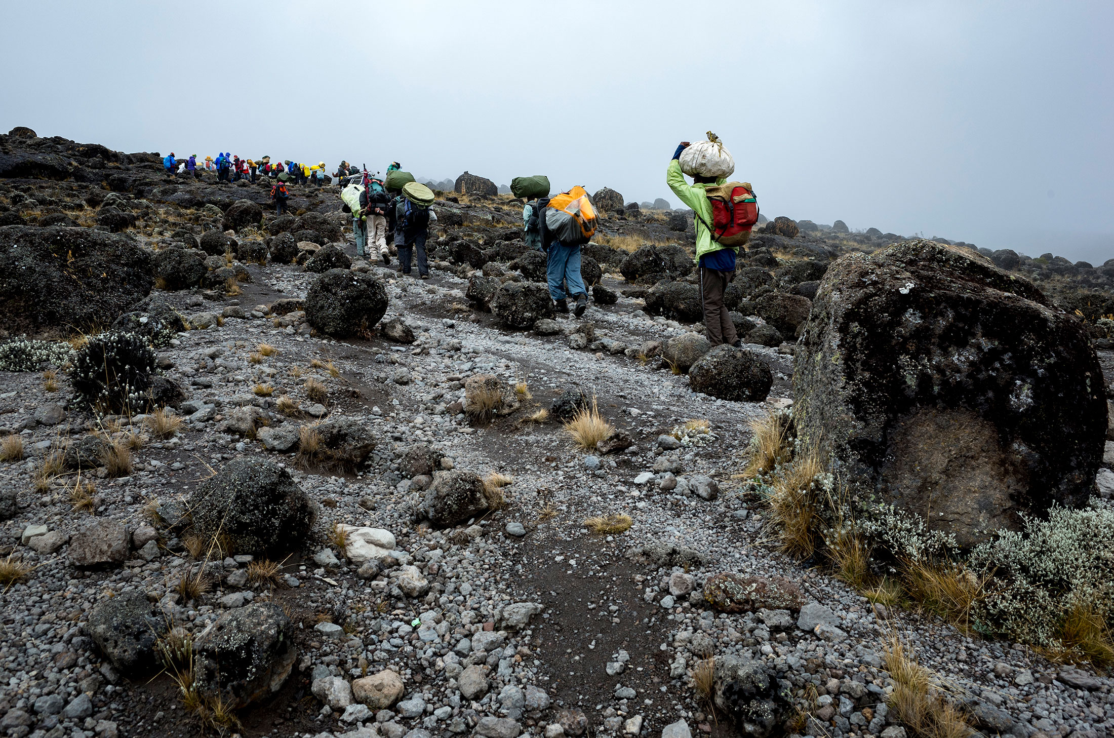
Ascent – Day 1
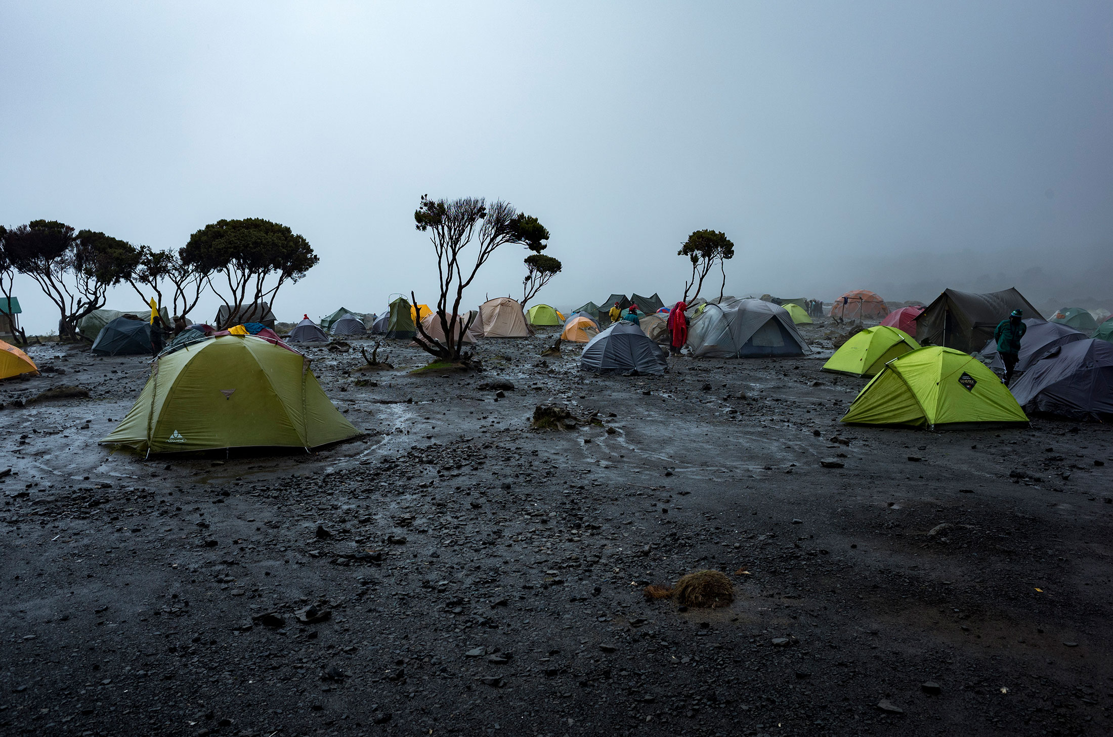
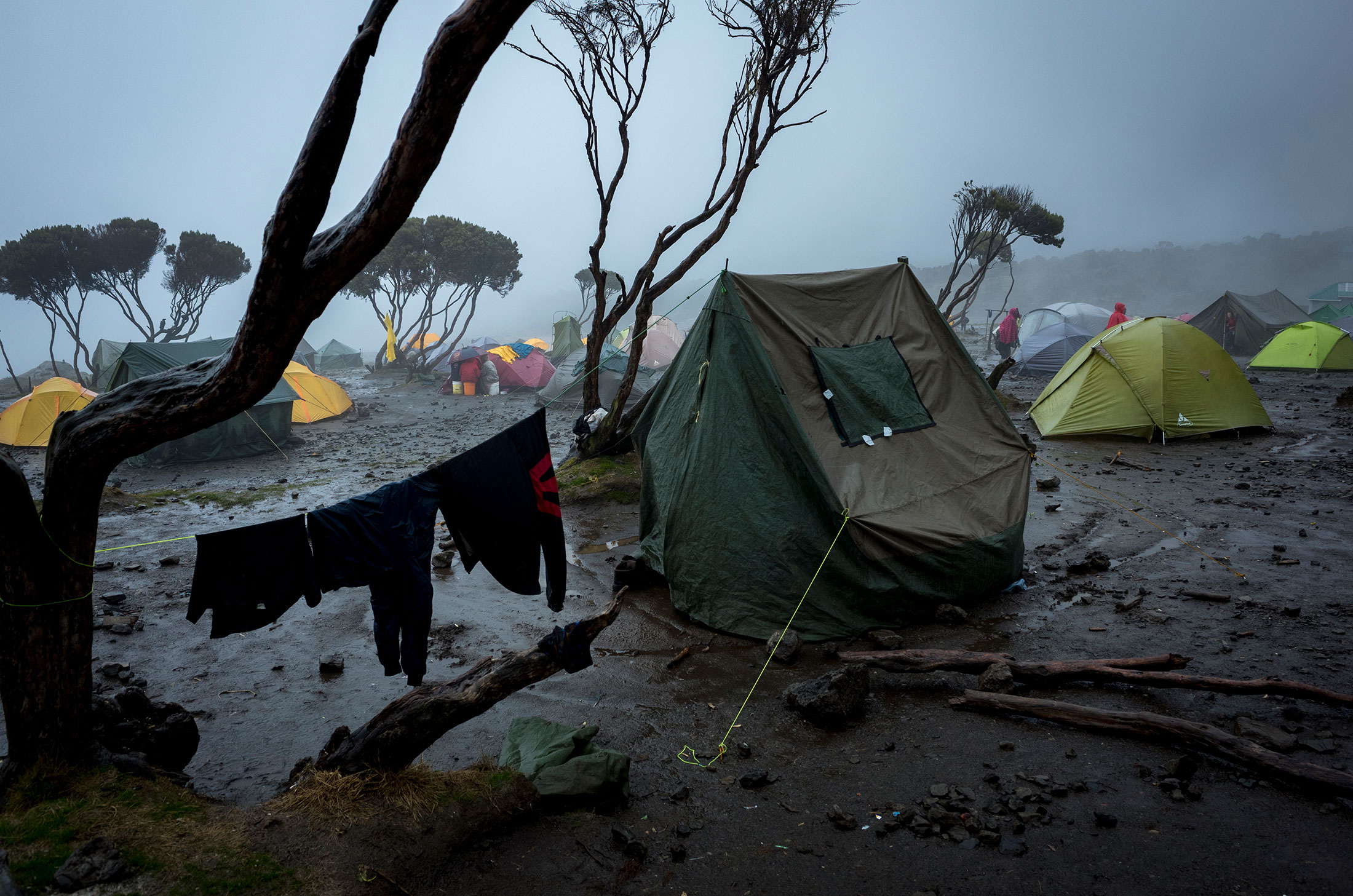
Route: Machame Gate to Machame Camp
Distance: 10.8km (6.7mi)
Starting elevation: 1,828m (5,997ft)
Ending elevation: 3,020m (9,908ft)
Elevation gain: 1,192m (3,911ft)
Time: ~7hrs
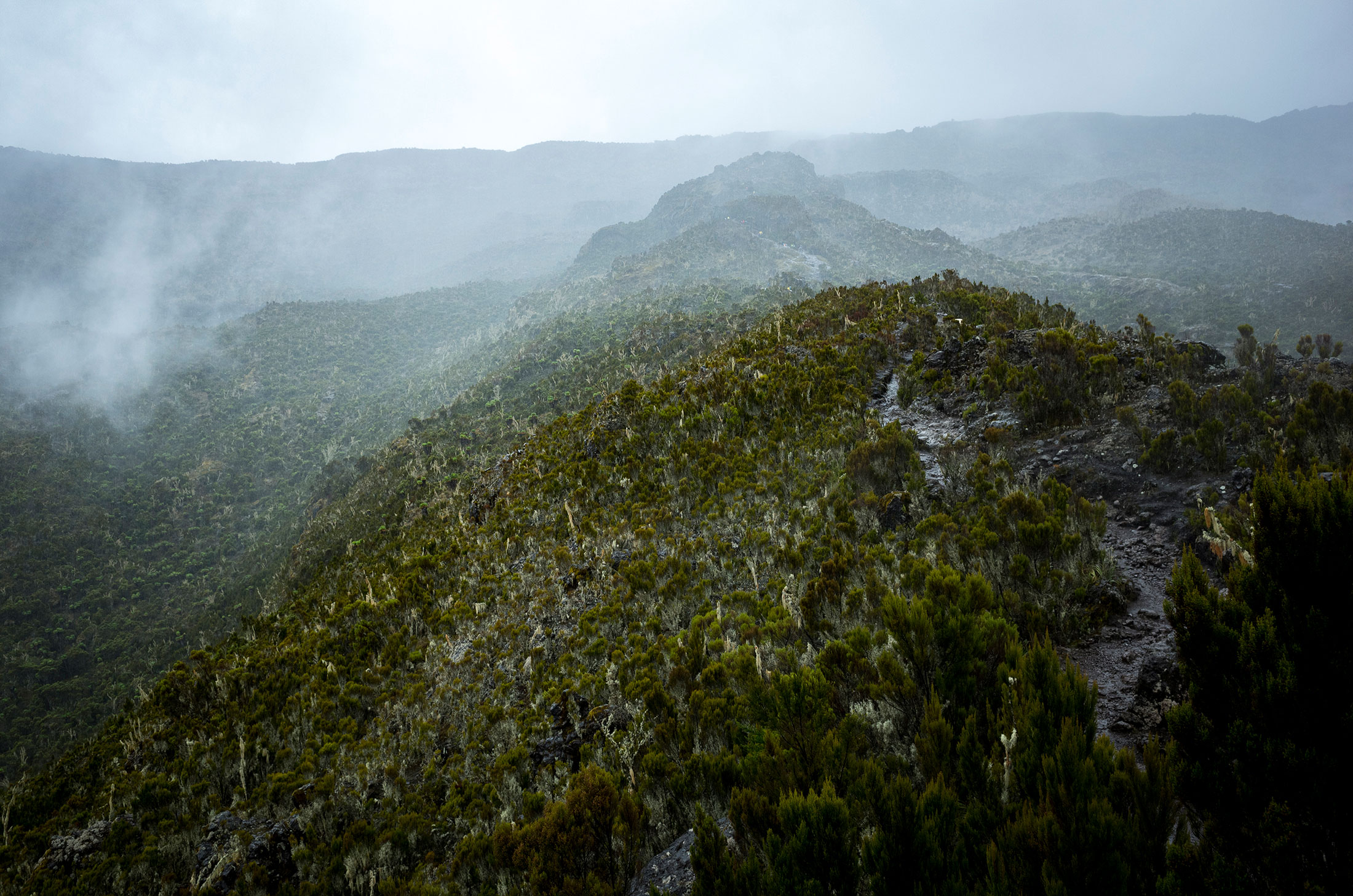
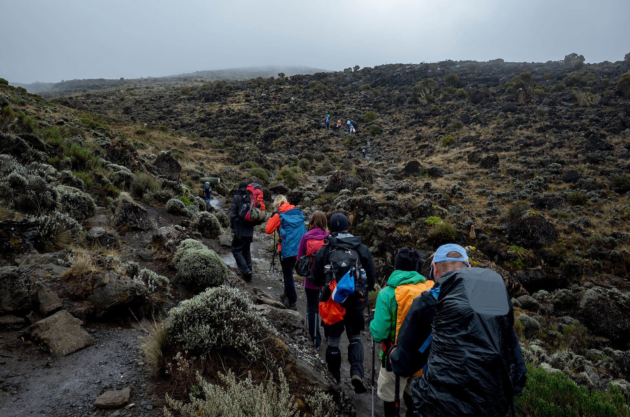
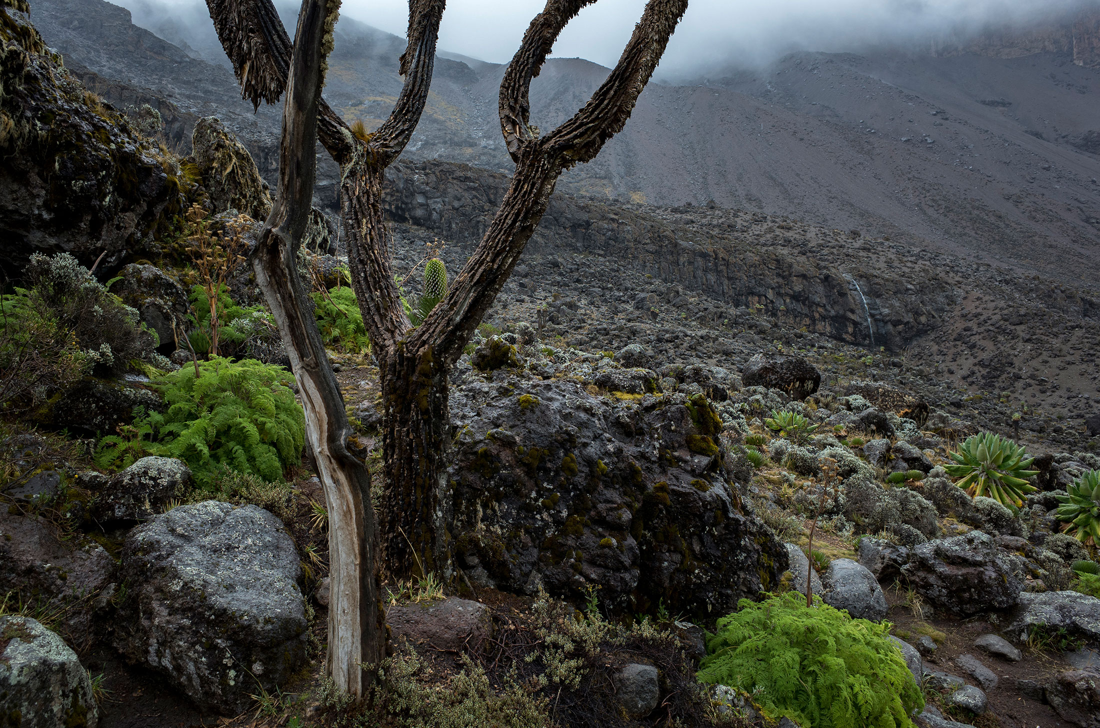
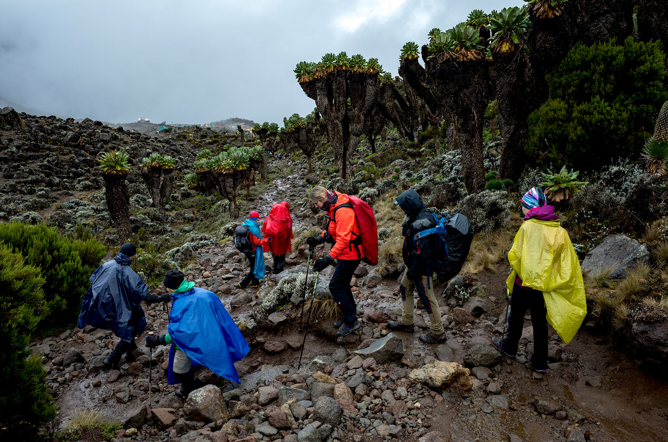
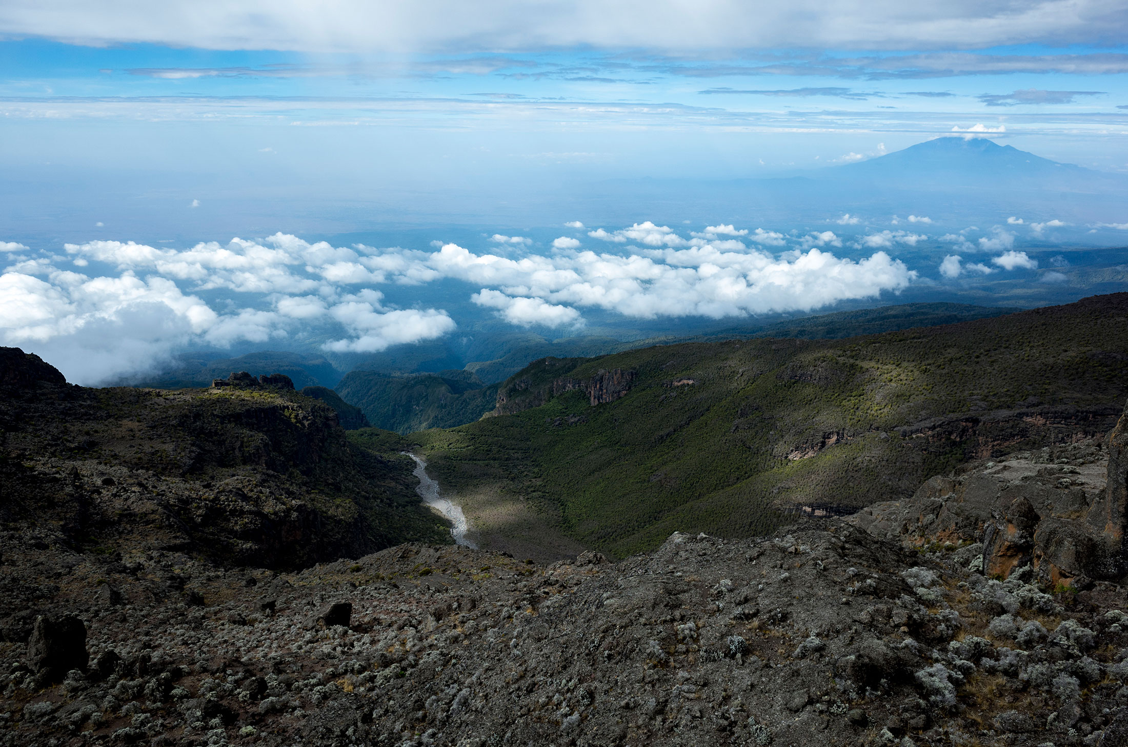
Habitat: Montane forest
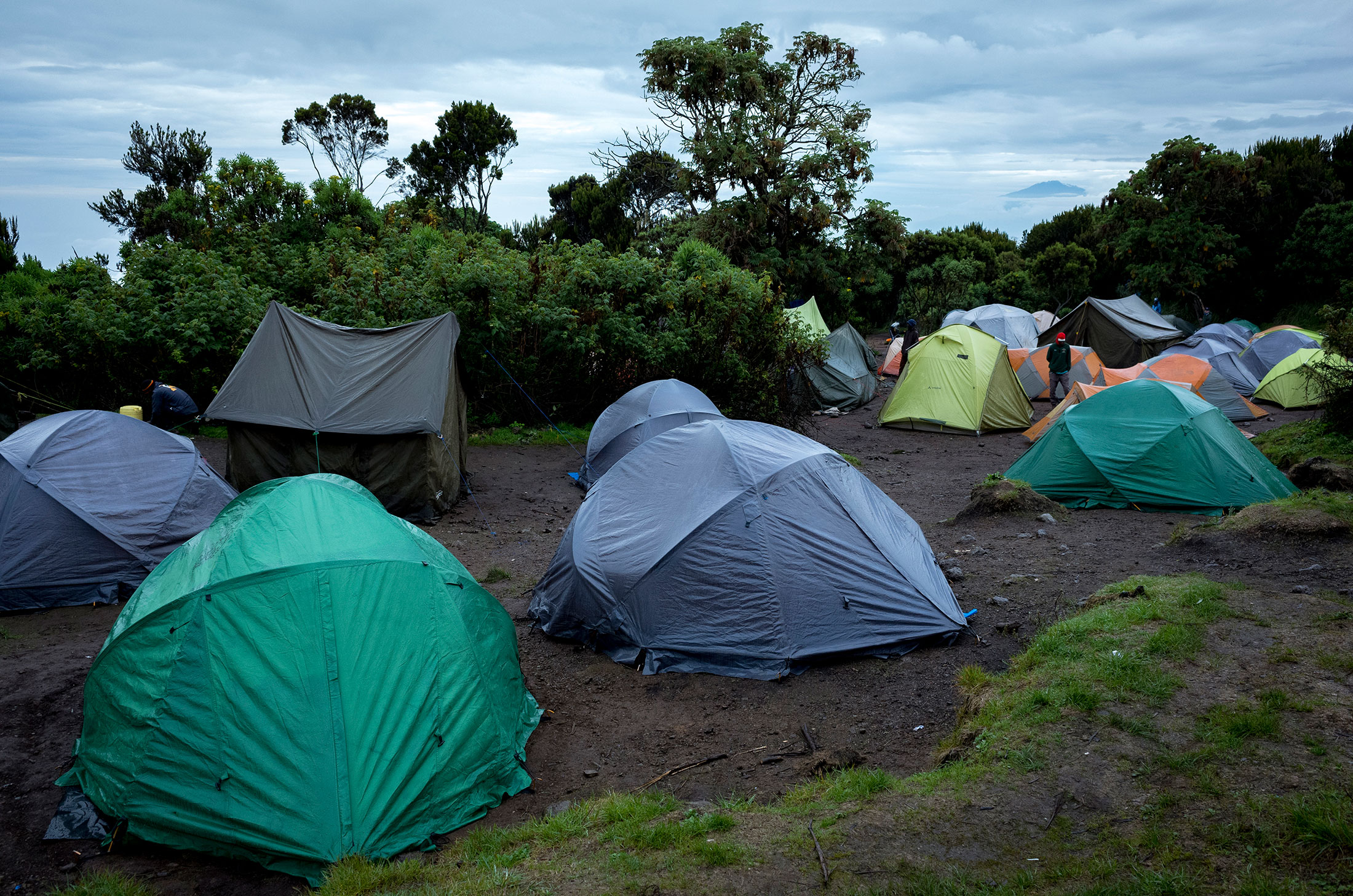
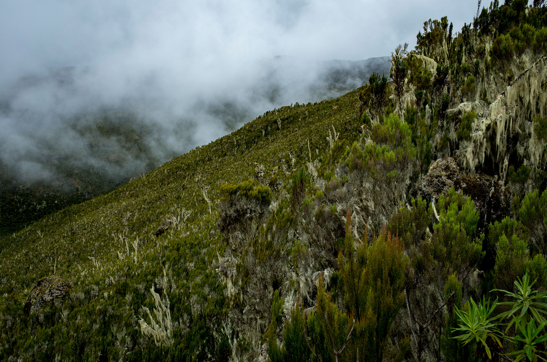
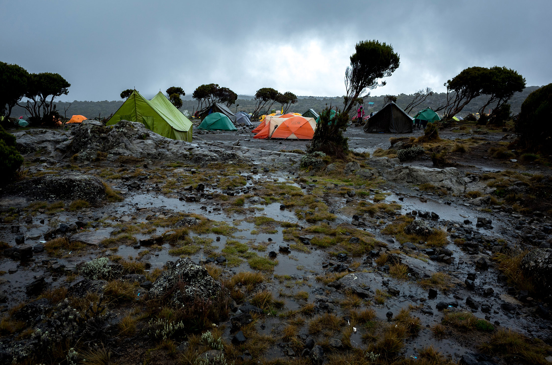
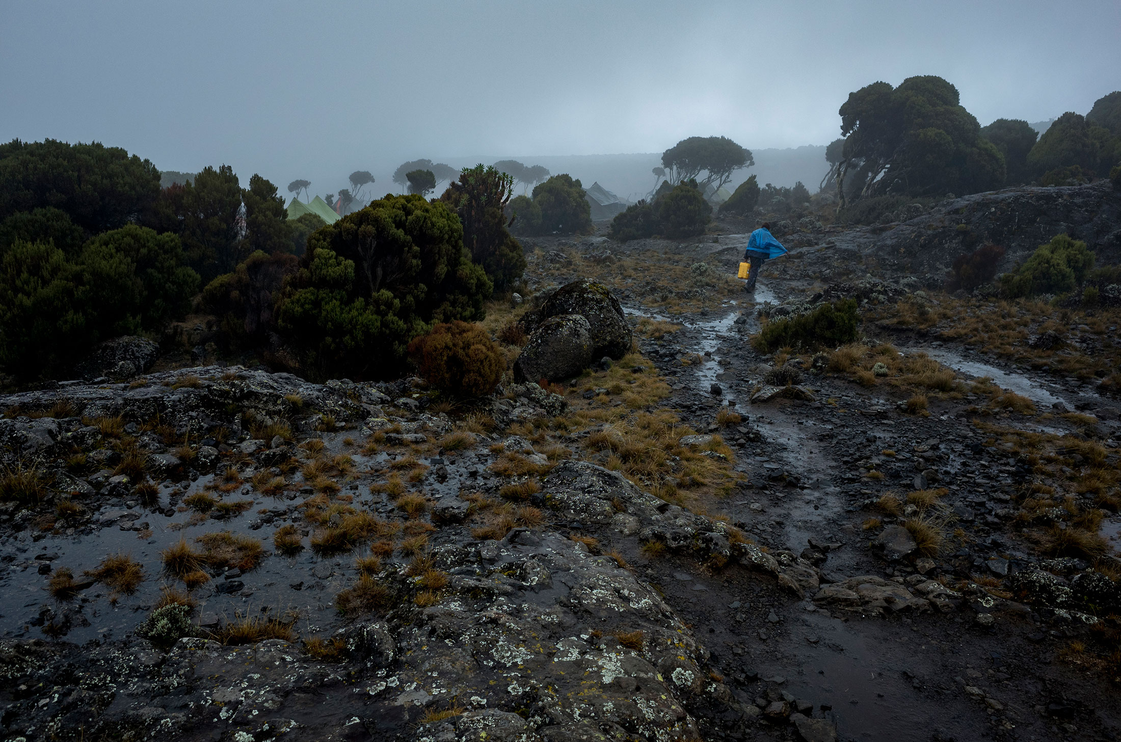
Ascent – Day 2
Route: Machame Camp to Shira Camp
Distance: 5.2km (3.2mi)
Starting elevation: 3,020m (9,908ft)
Ending elevation: 3,847m (12,621ft)
Elevation gain: 827m (2,713ft)
Time: ~6hrs
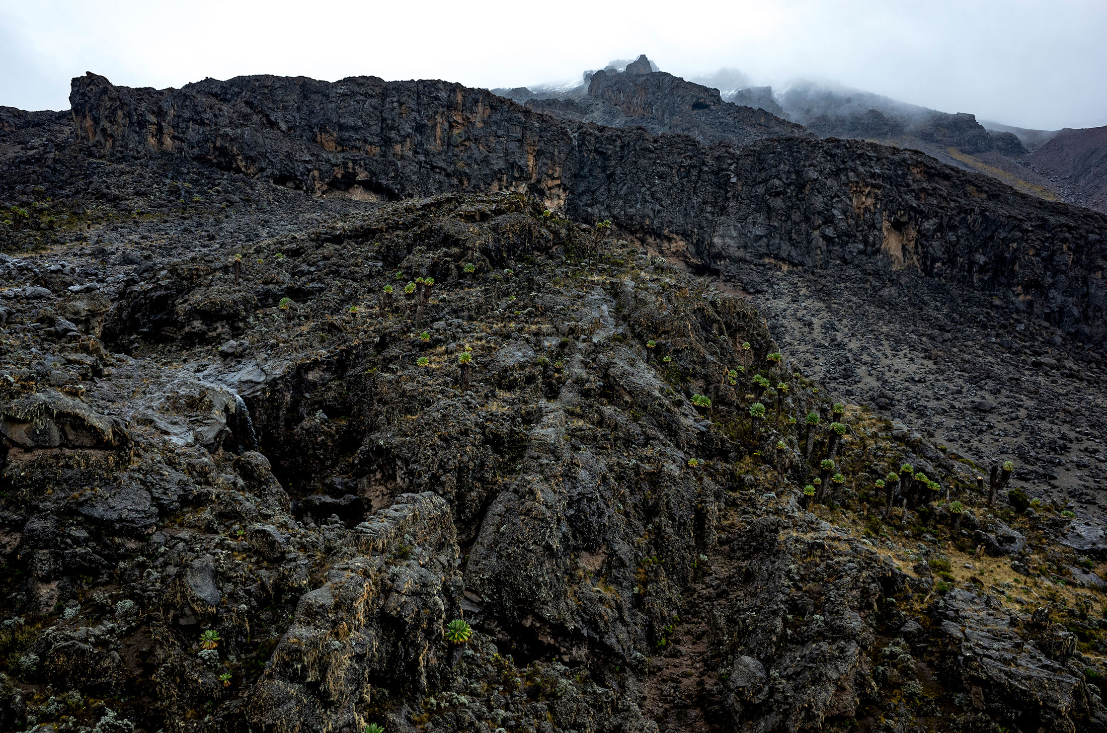
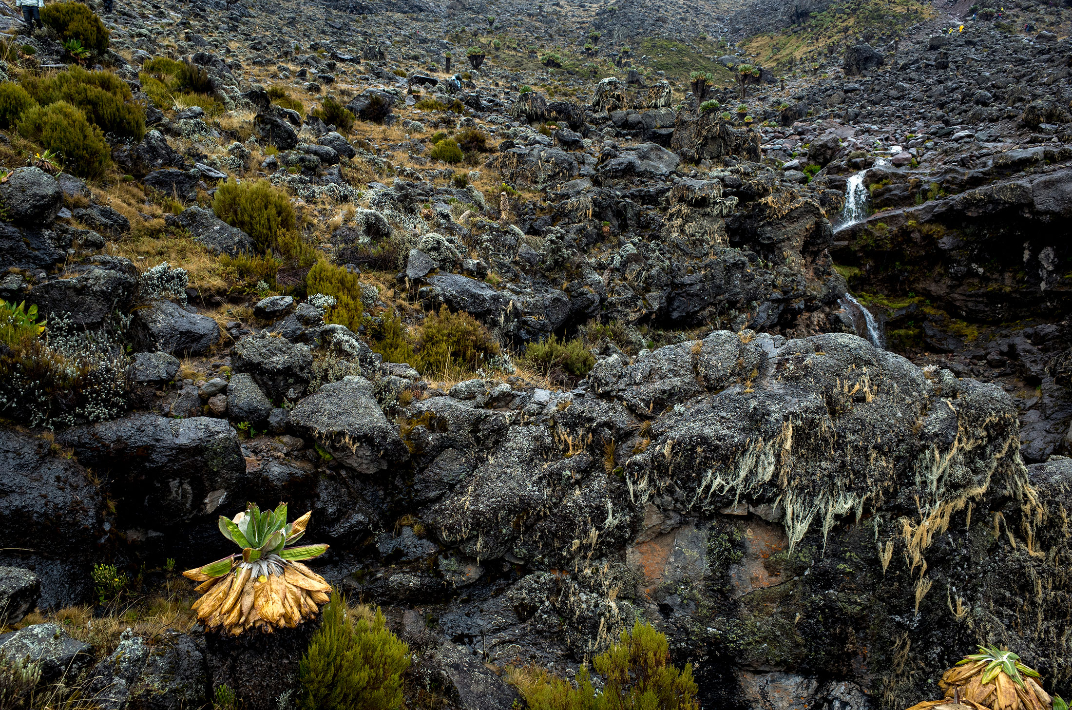
Habitat: Moorland
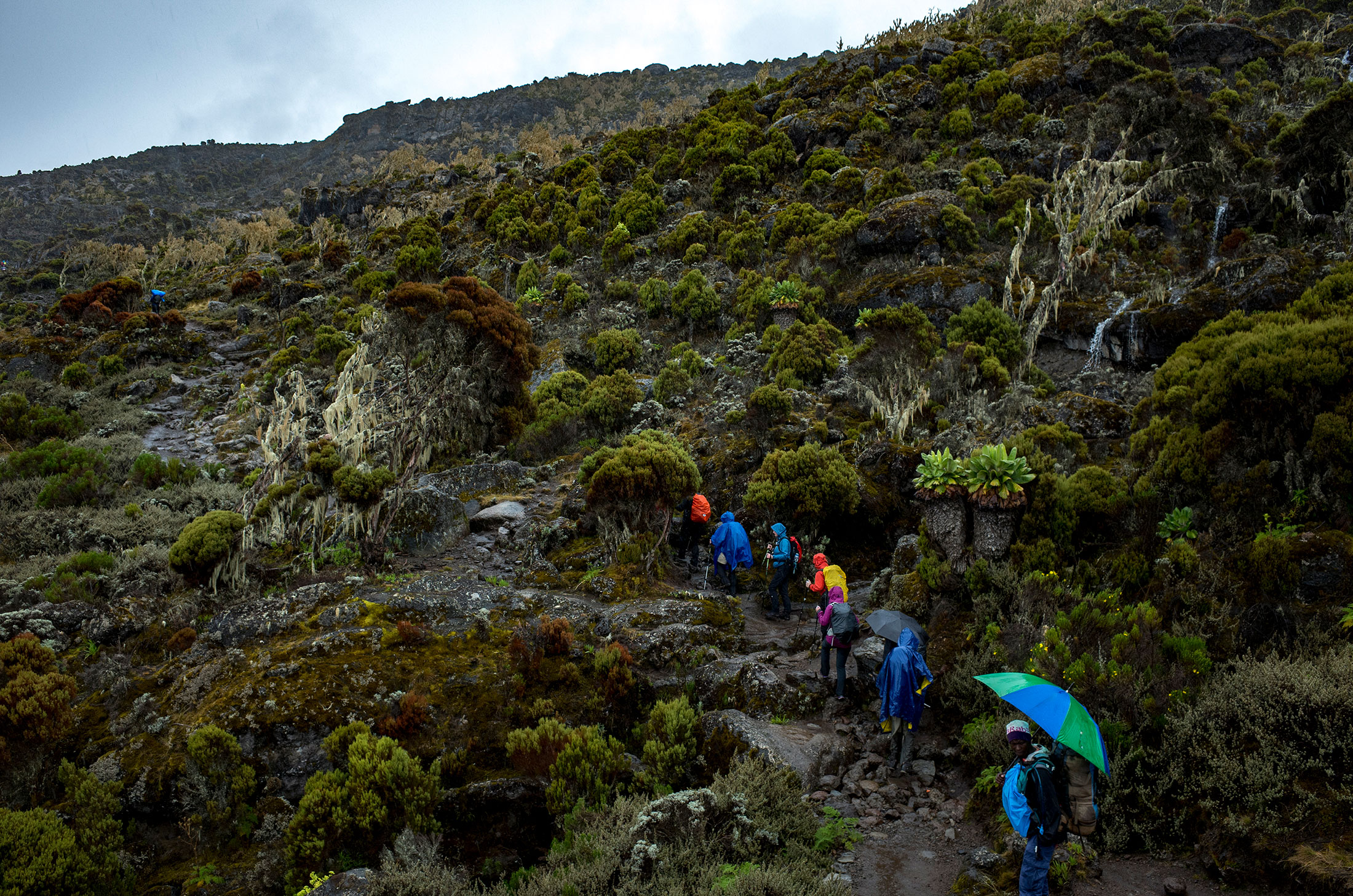
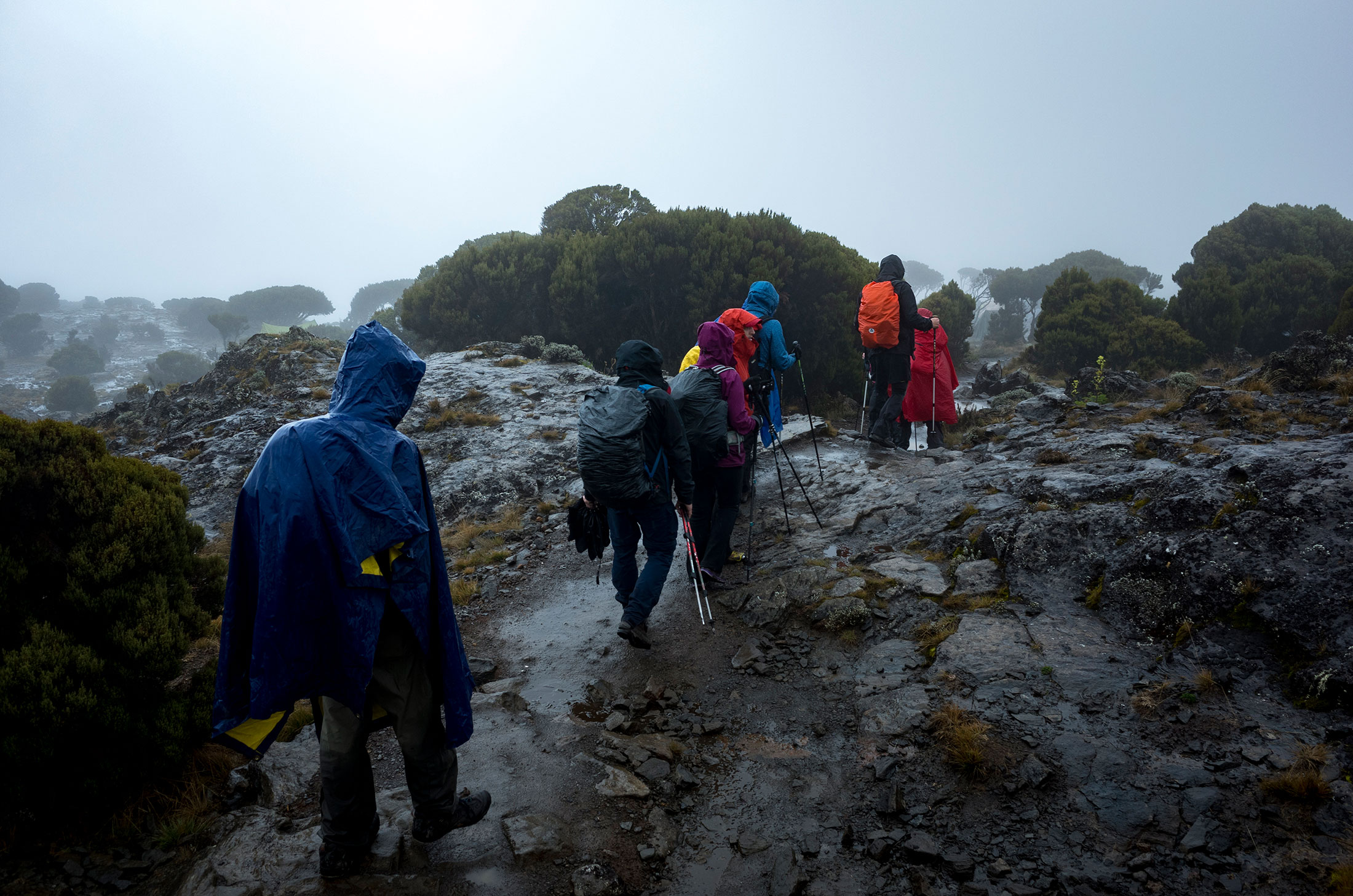
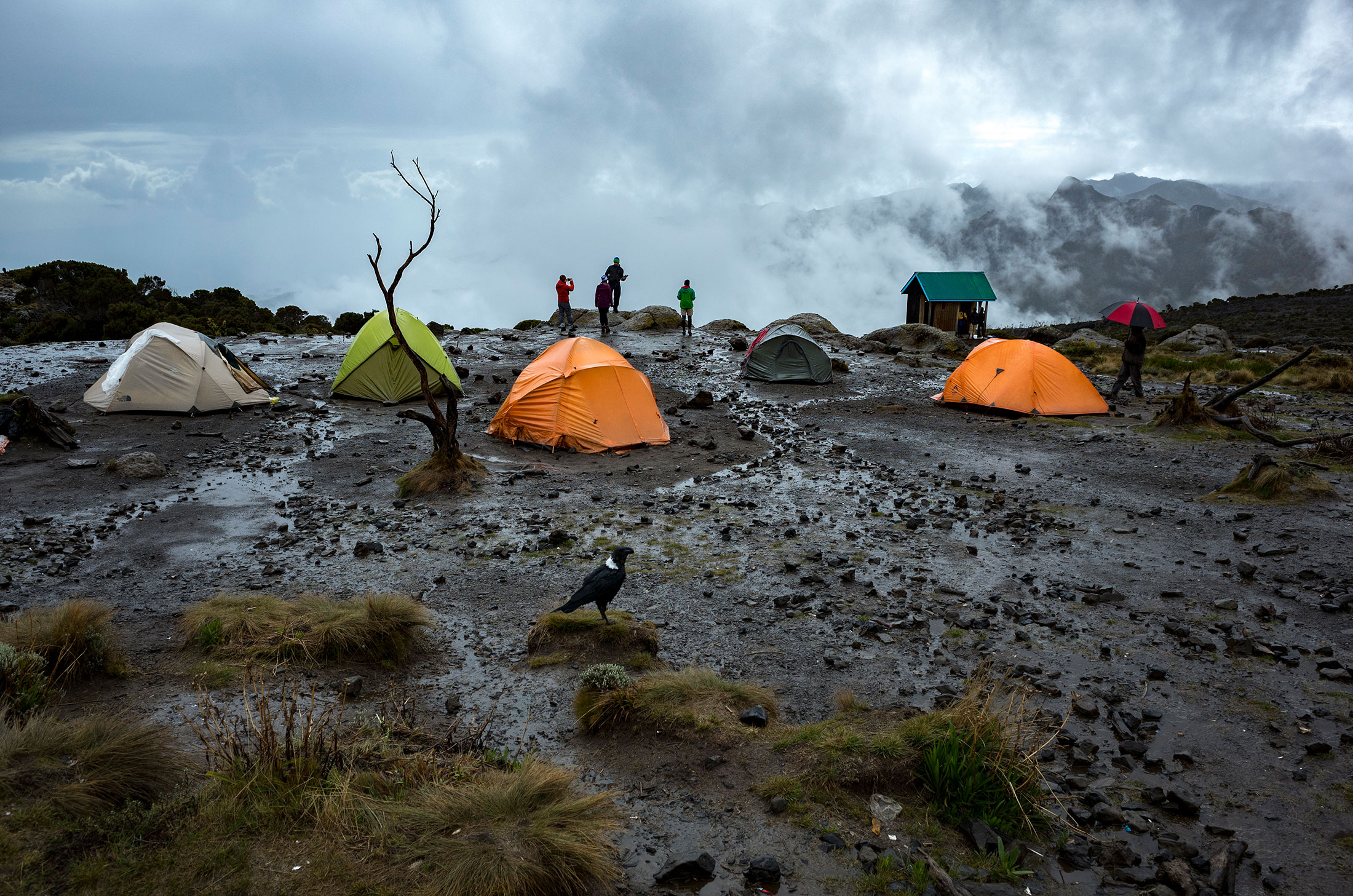
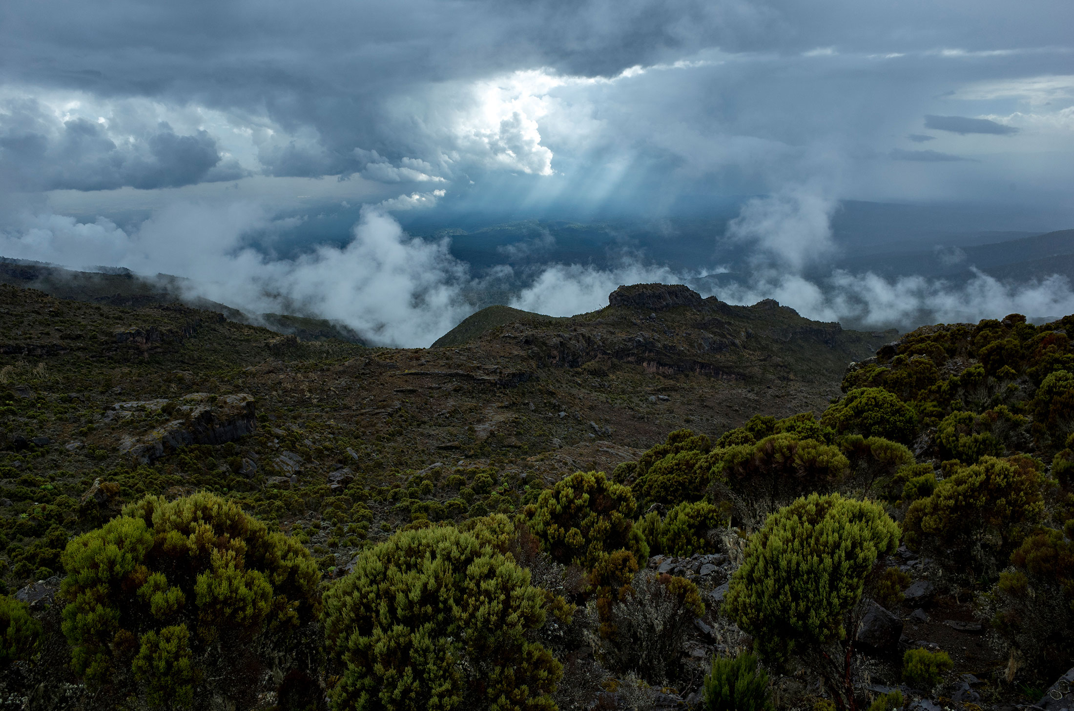
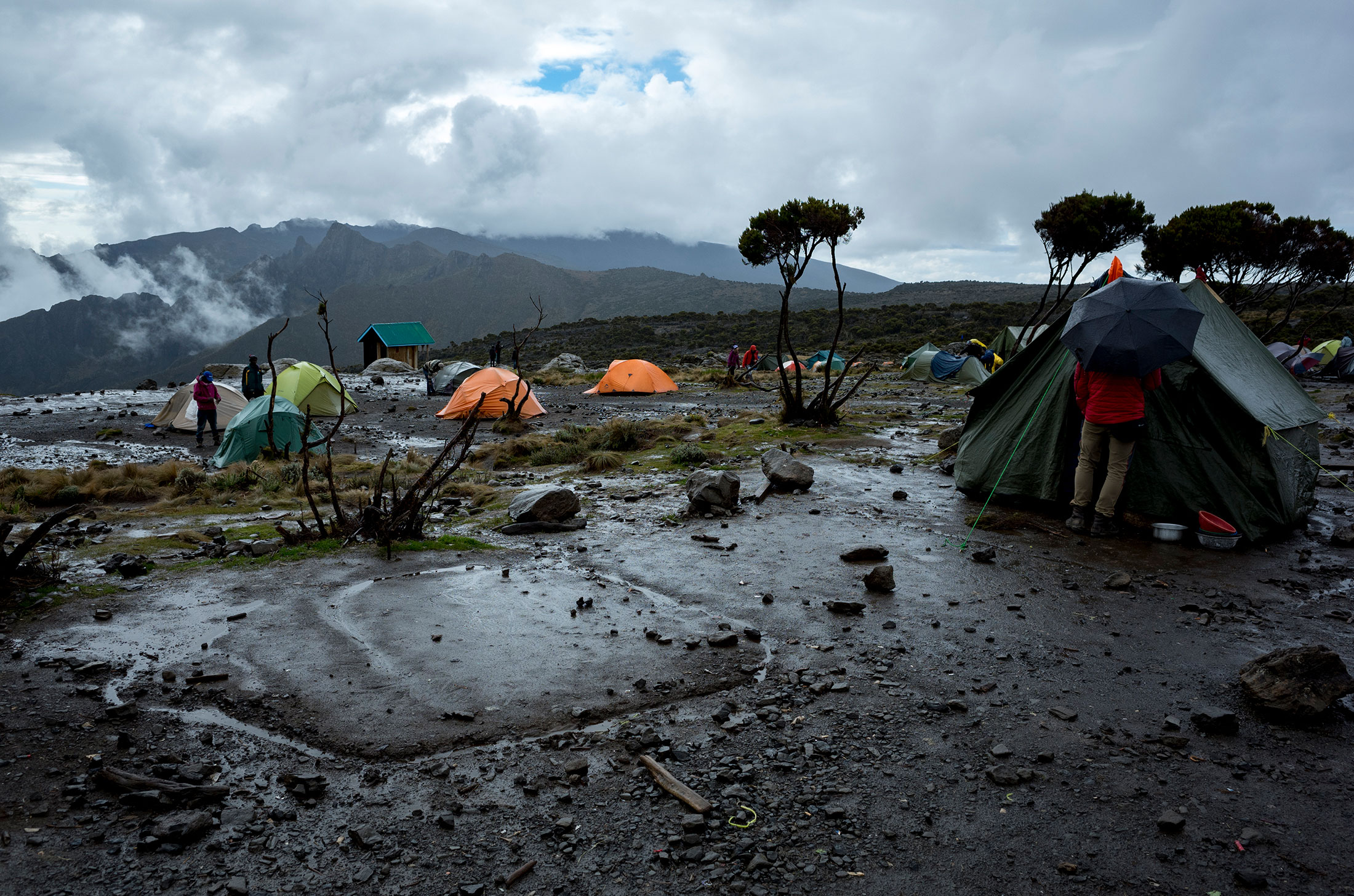
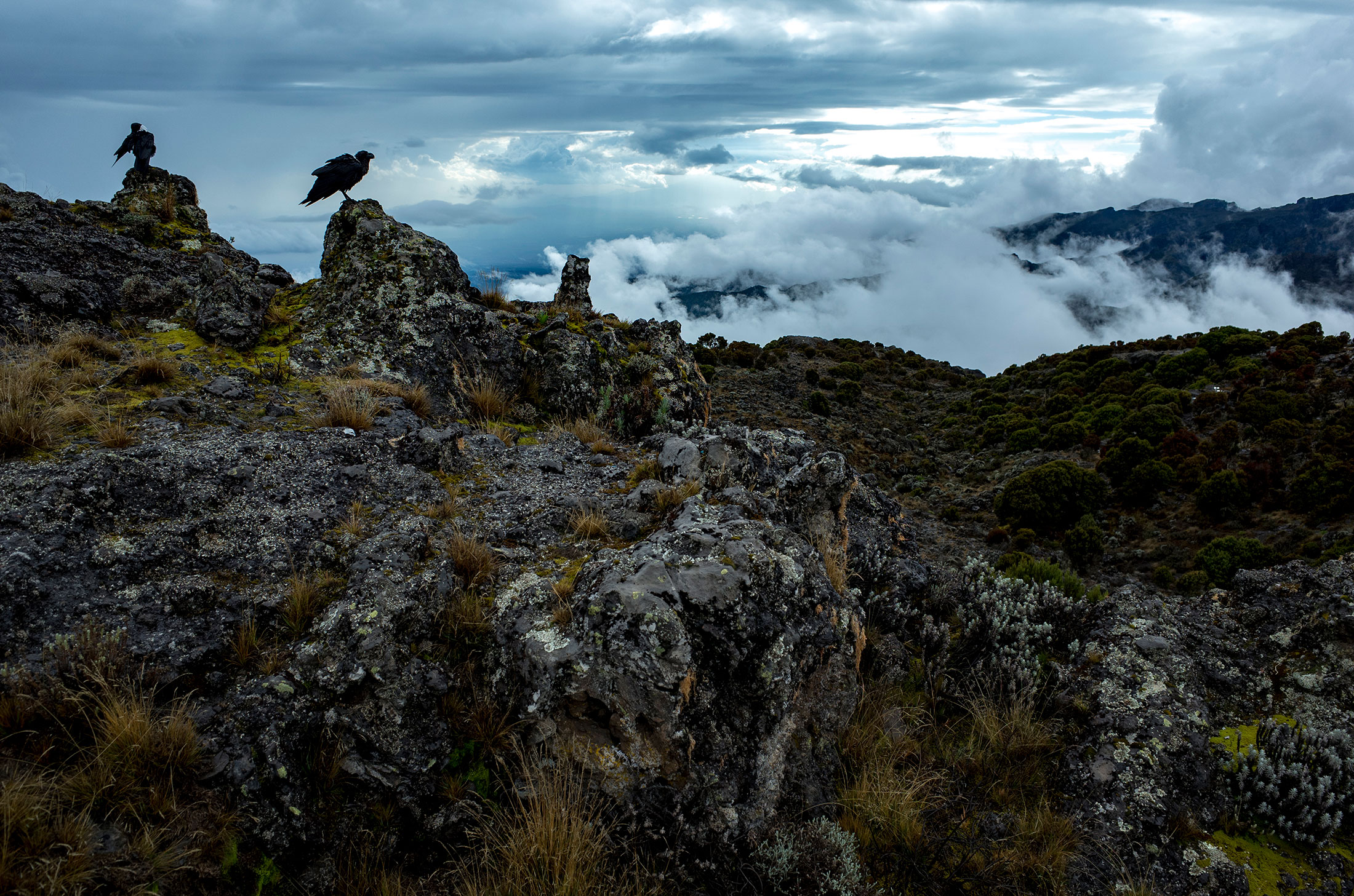
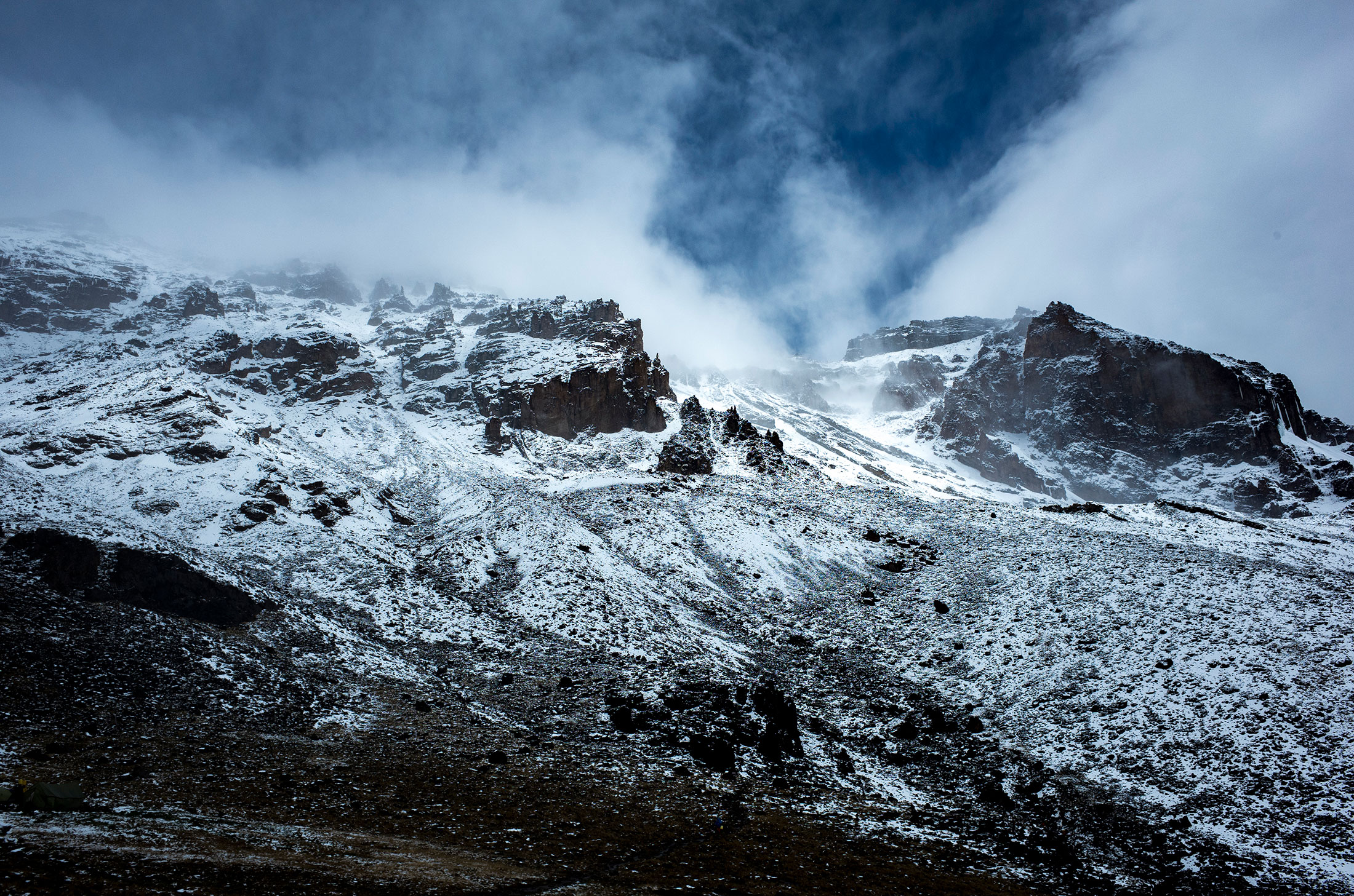
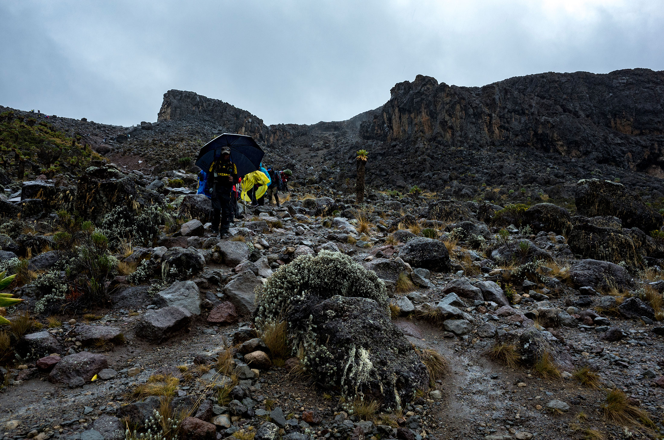
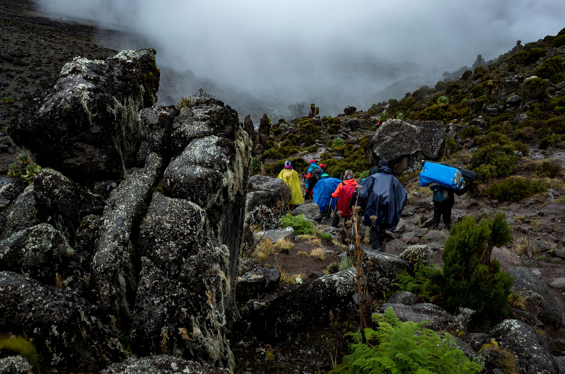
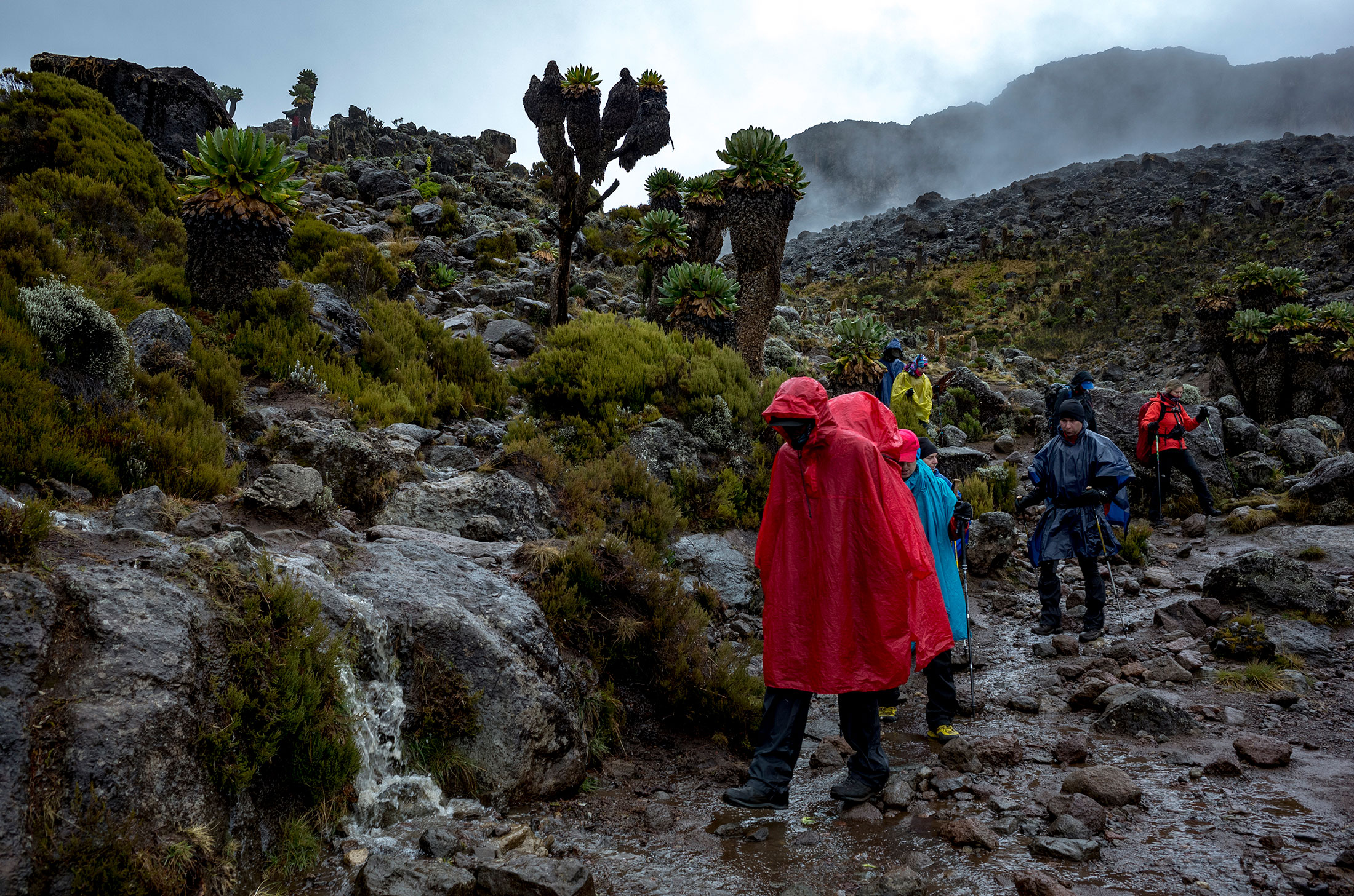
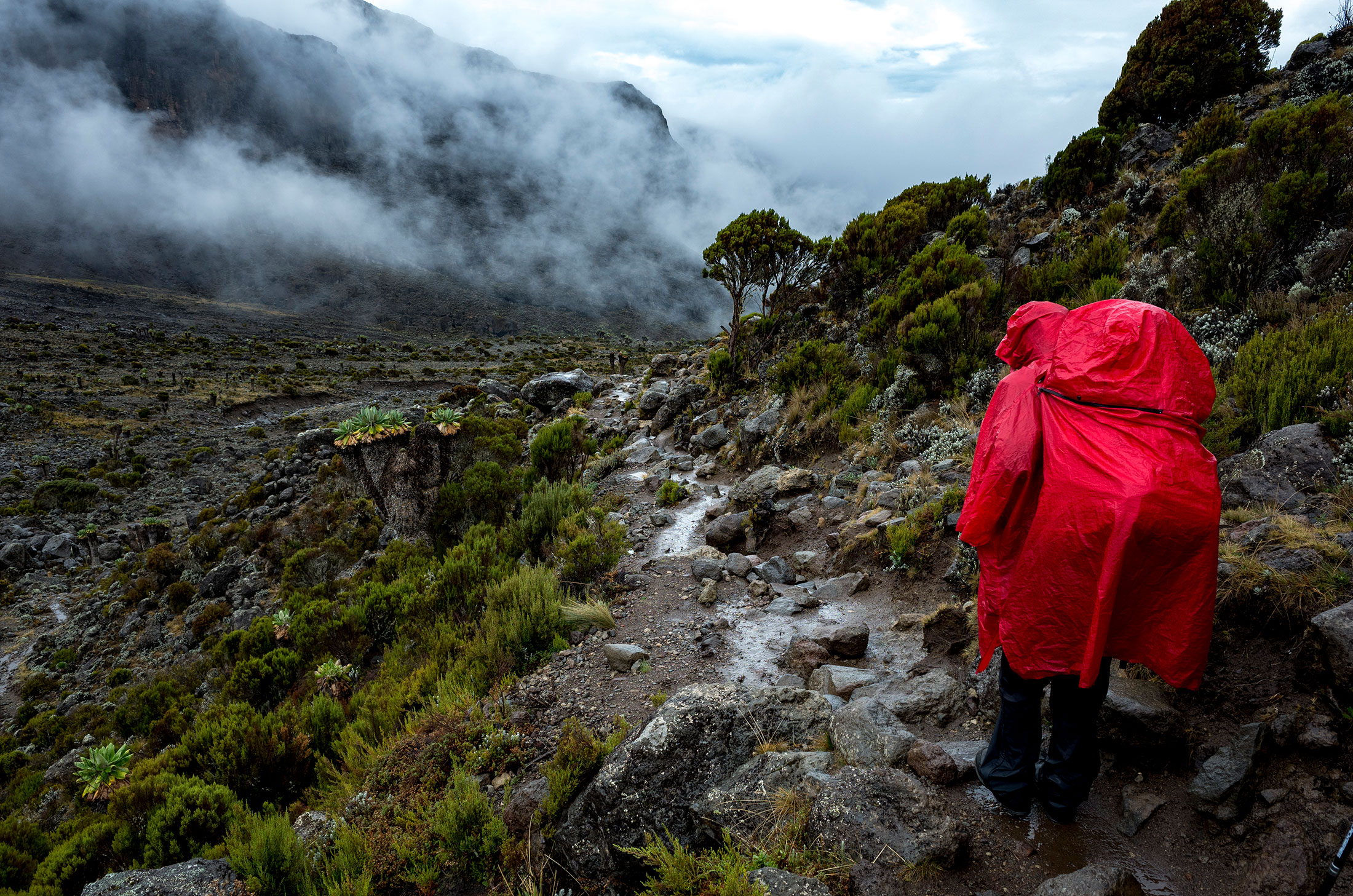
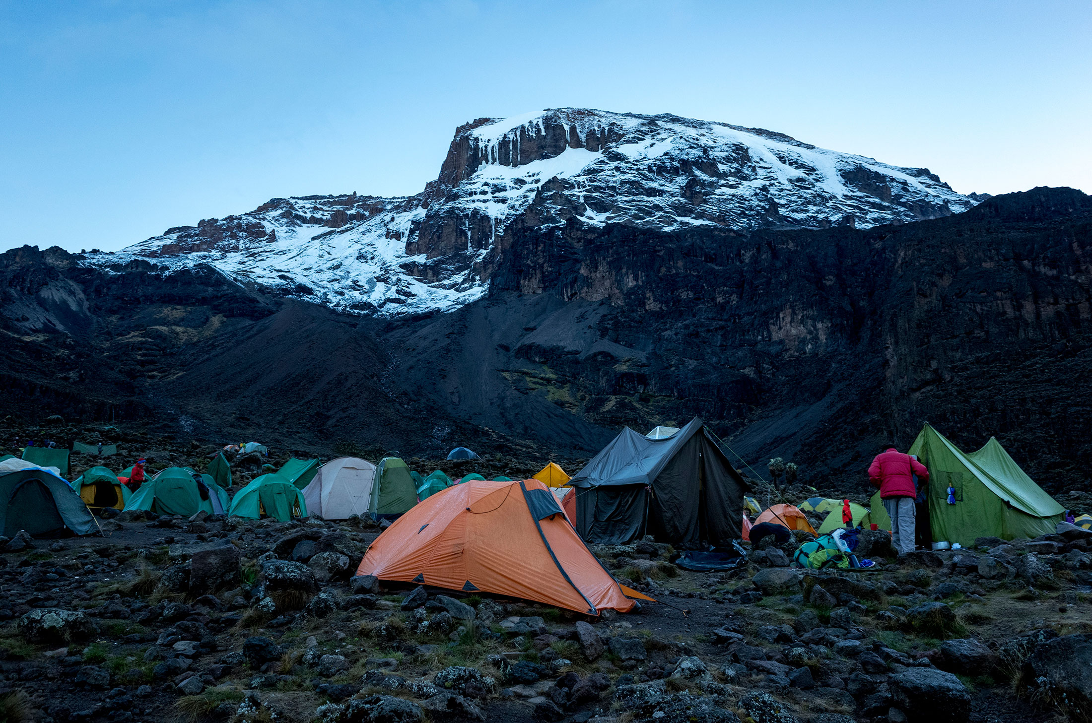
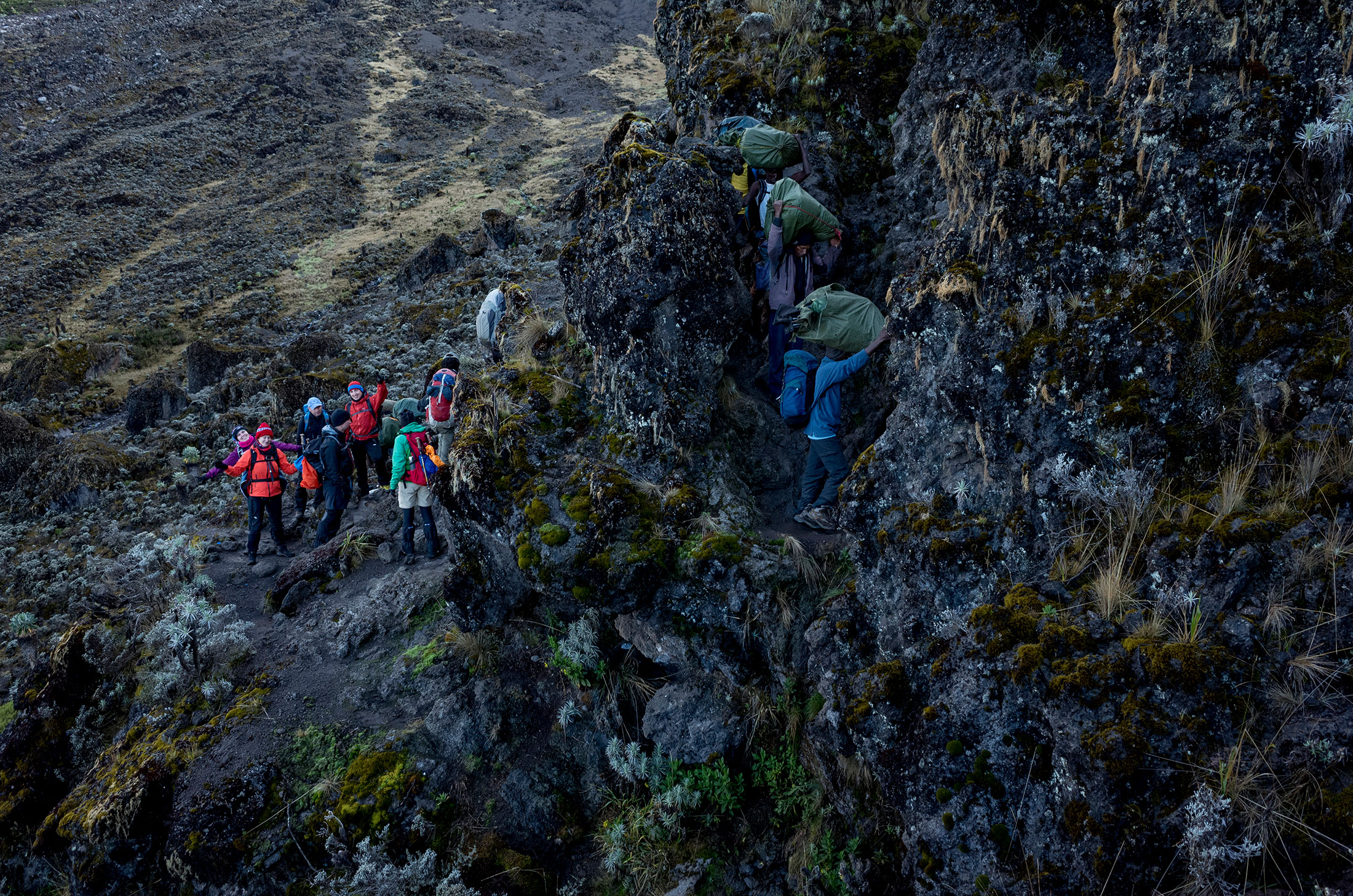
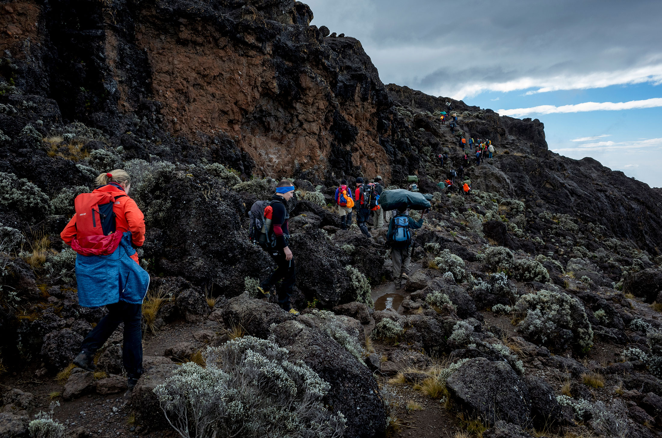
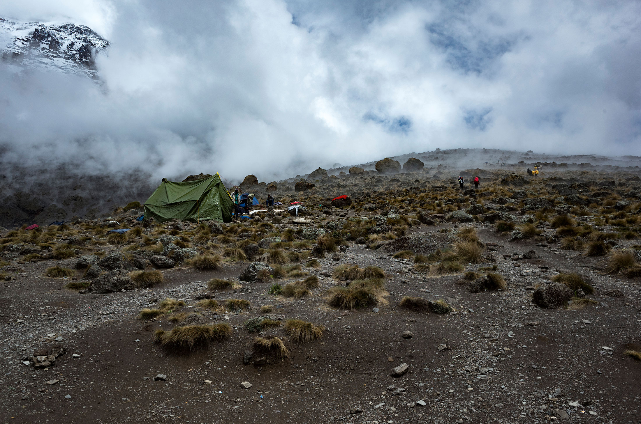
Ascent – Day 3
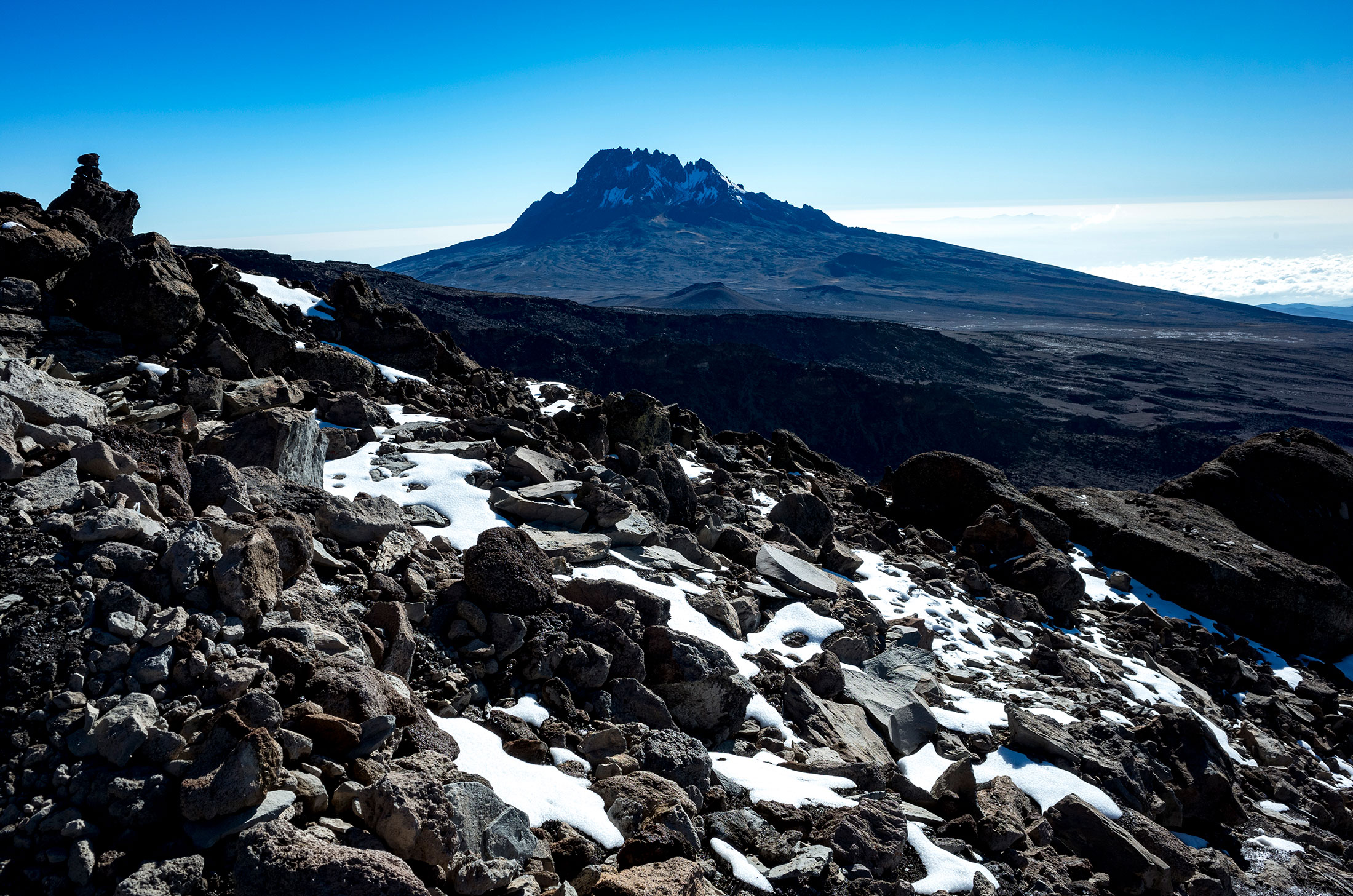
Route: Shira Camp to Lava Tower (4,642m) to Barranco camp
Distance: 10.7km (6.6mi)
Starting elevation: 3,847m (12,621ft)
Ending elevation: 3,984m (13,070ft)
Elevation gain: 137m (449ft)
Time: ~7hrs
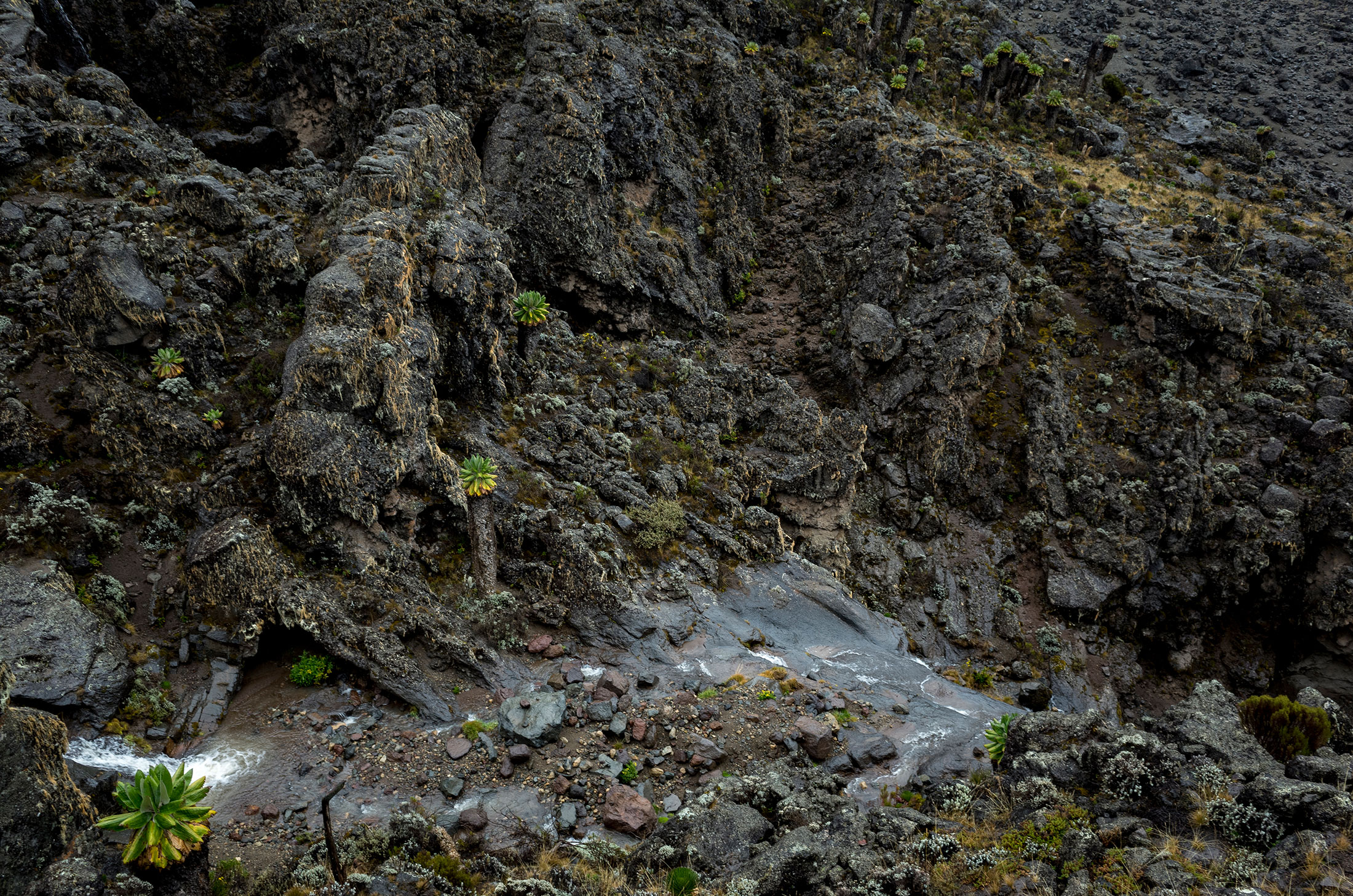
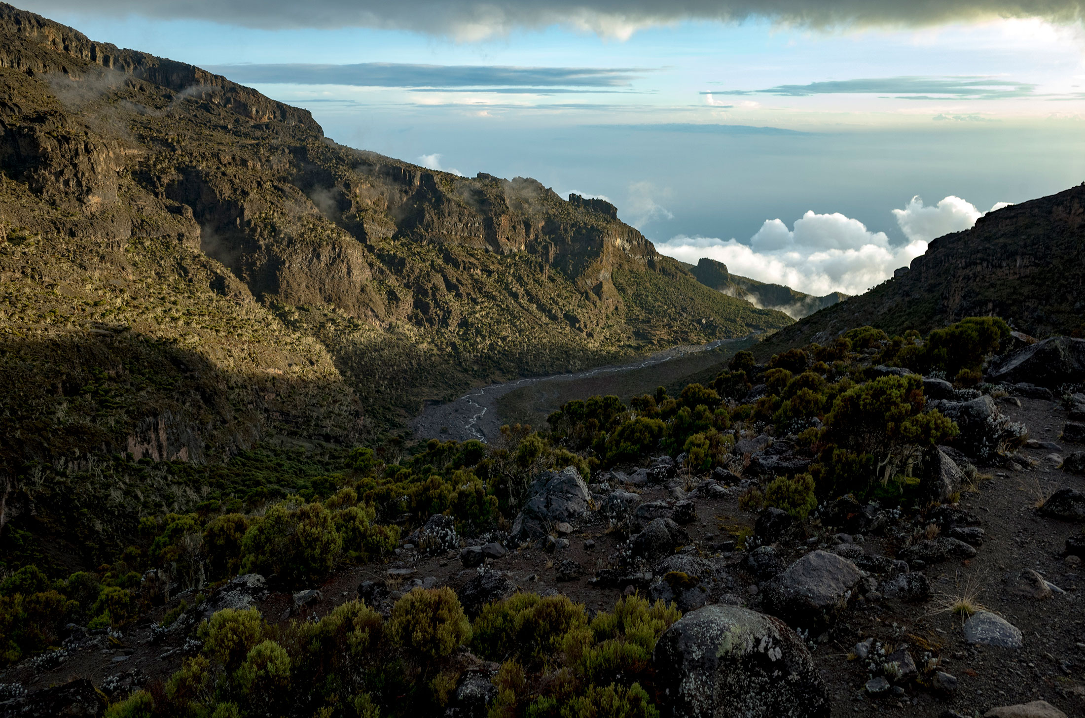
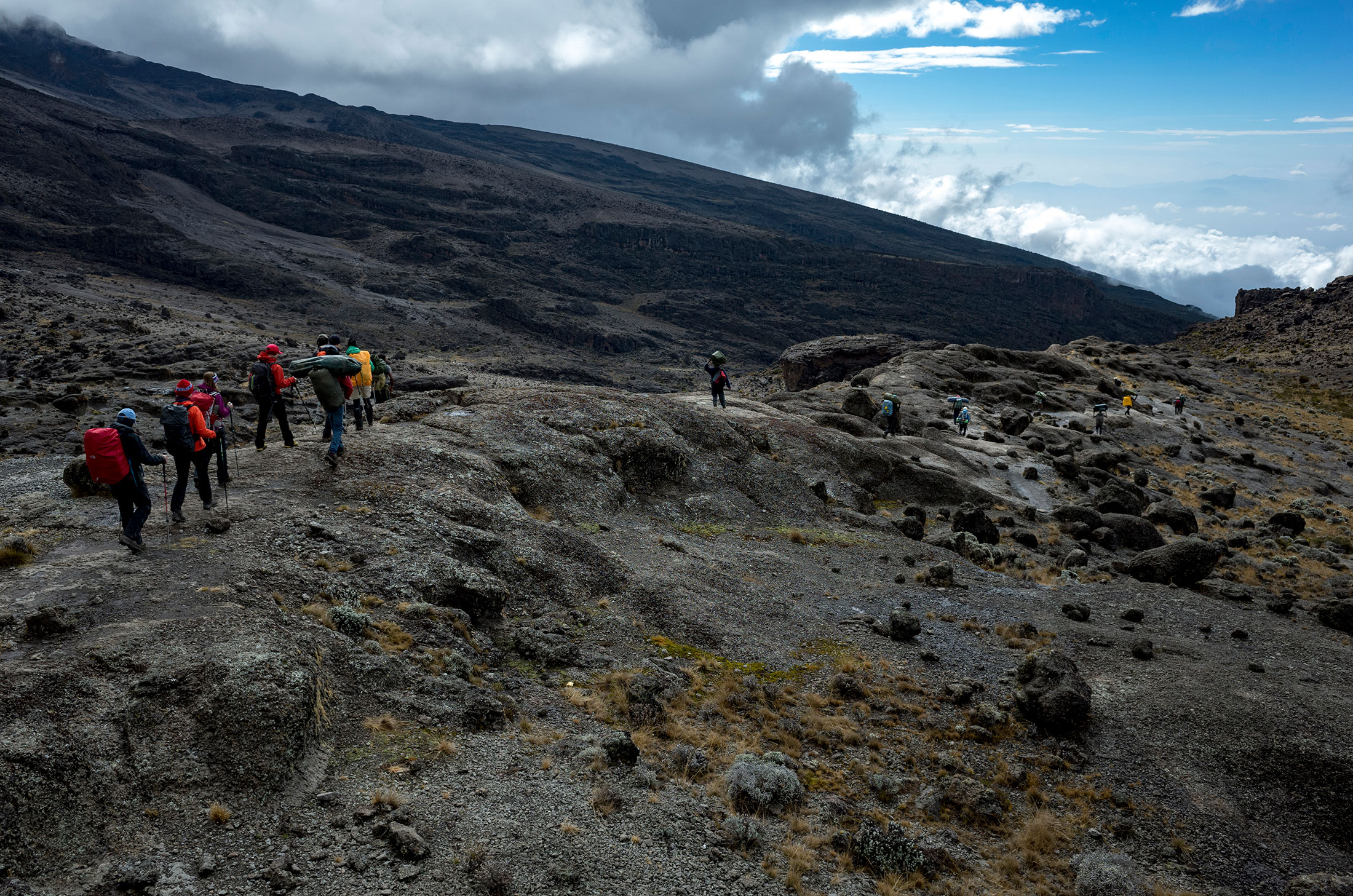
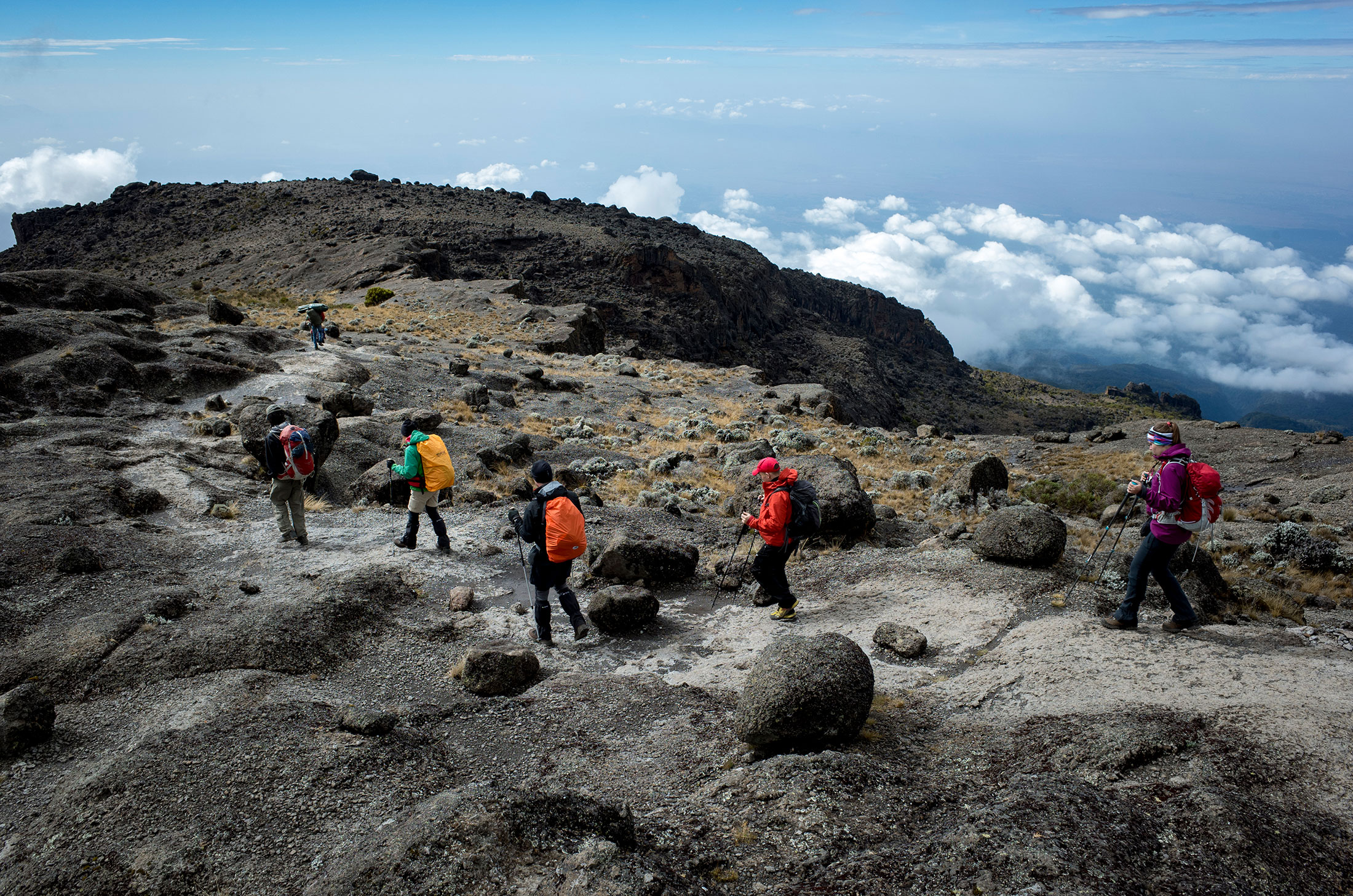
Habitat: Semi-desert
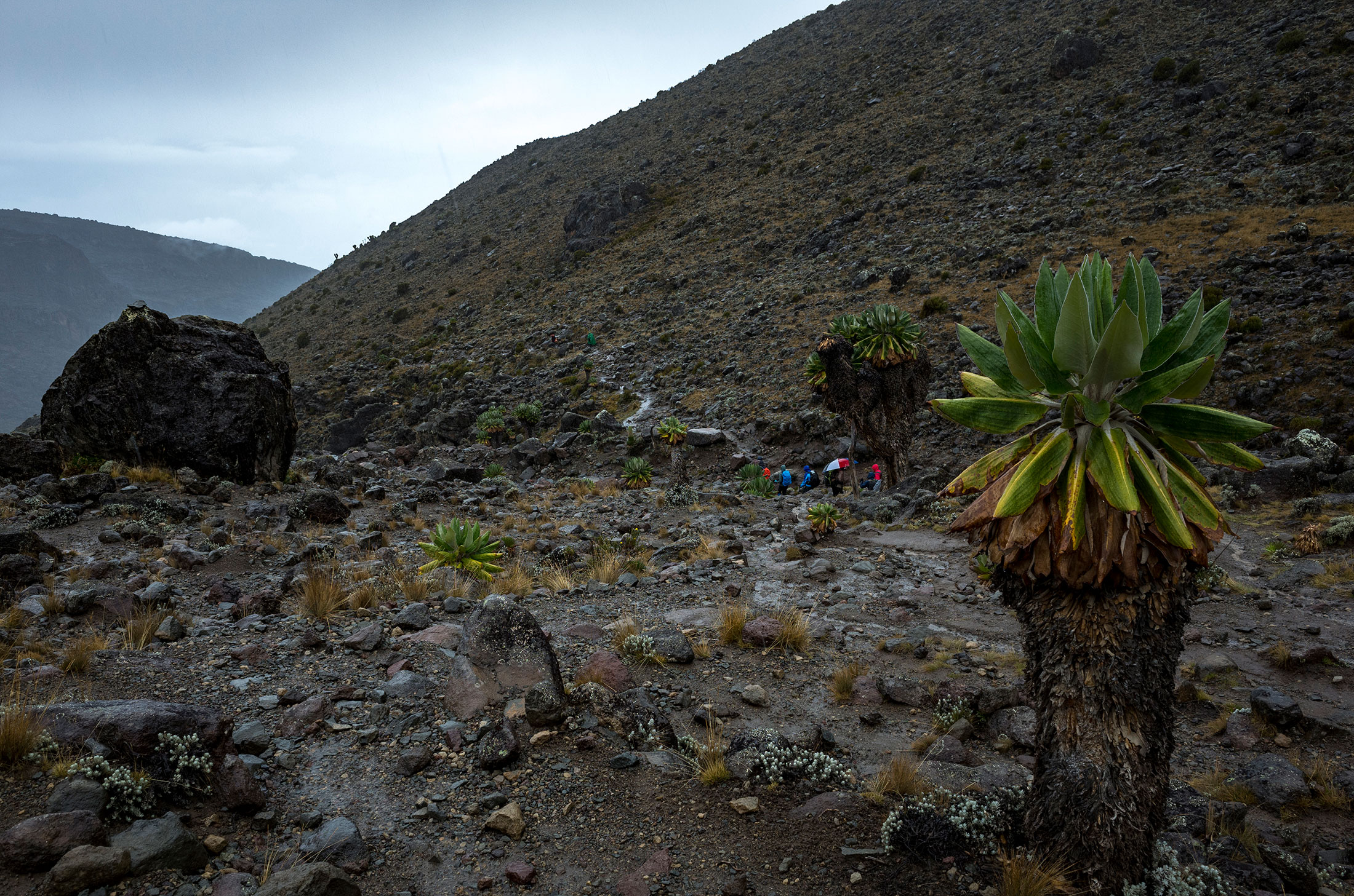
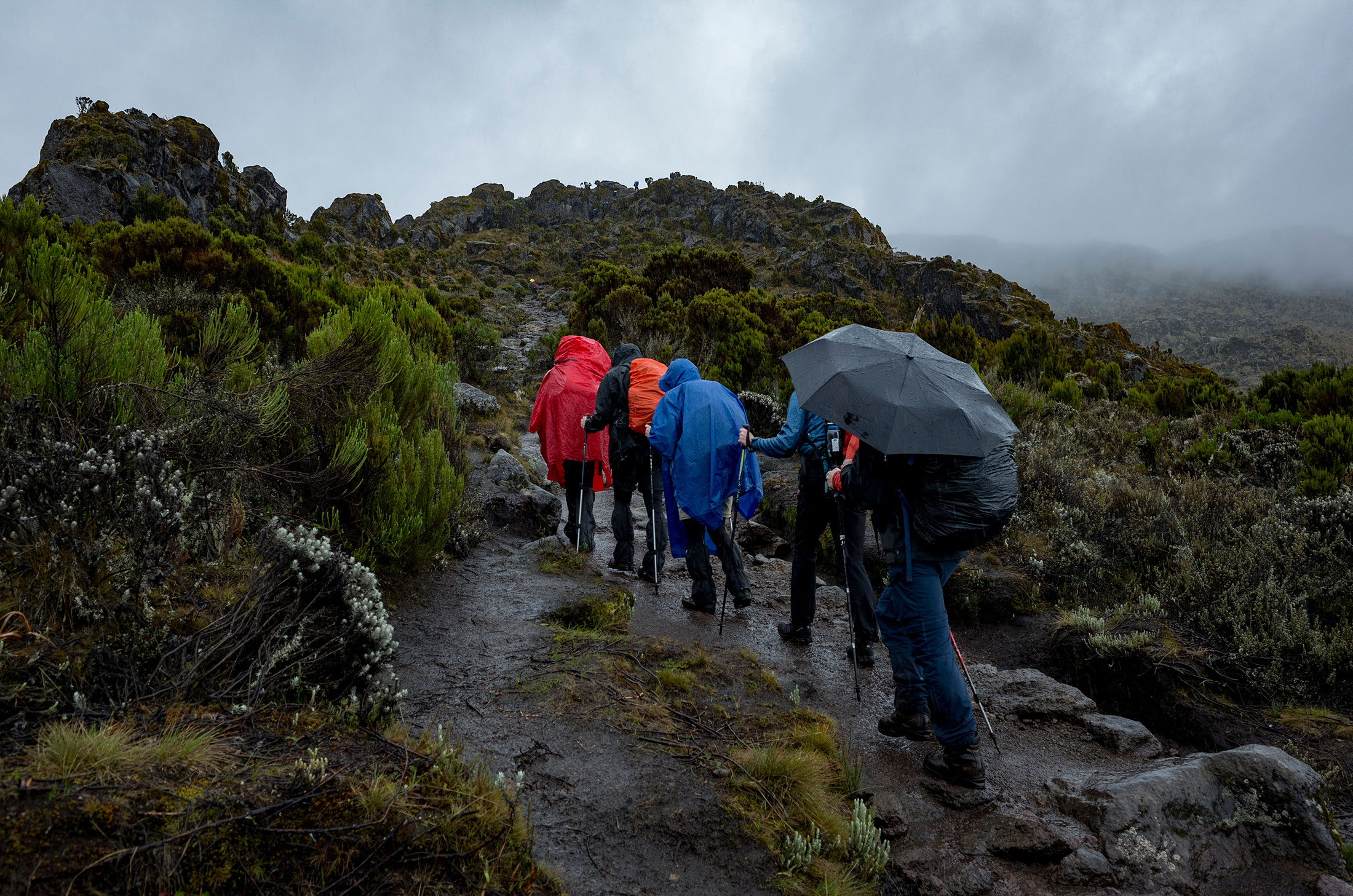
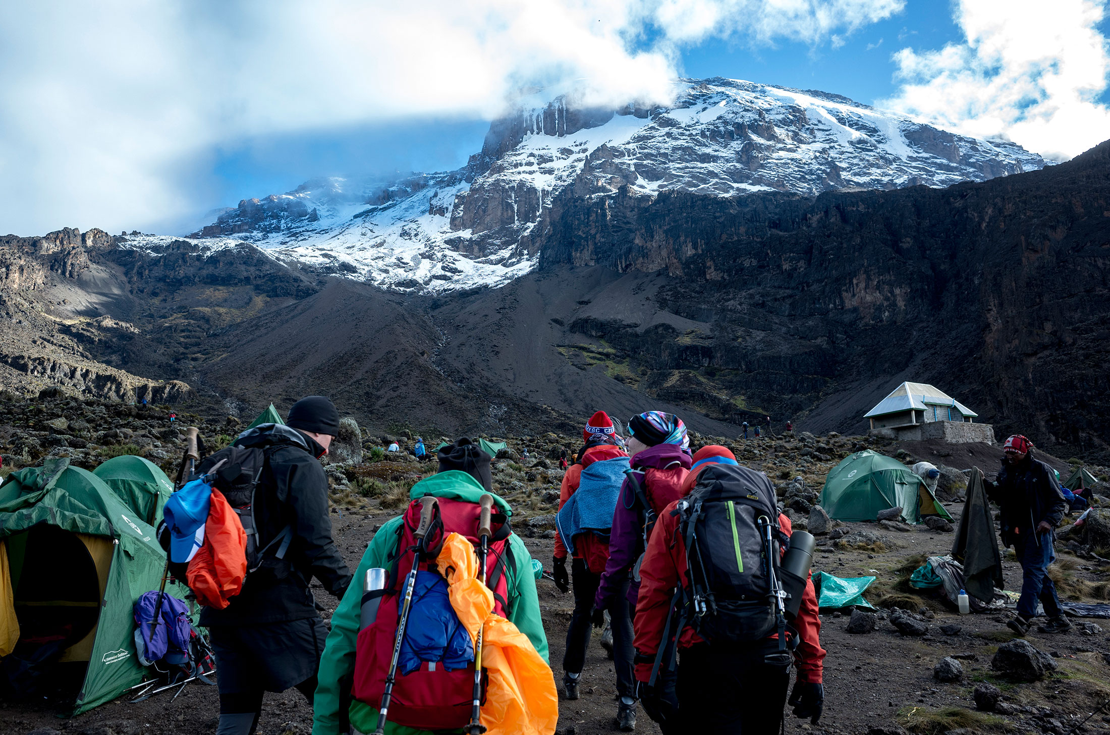
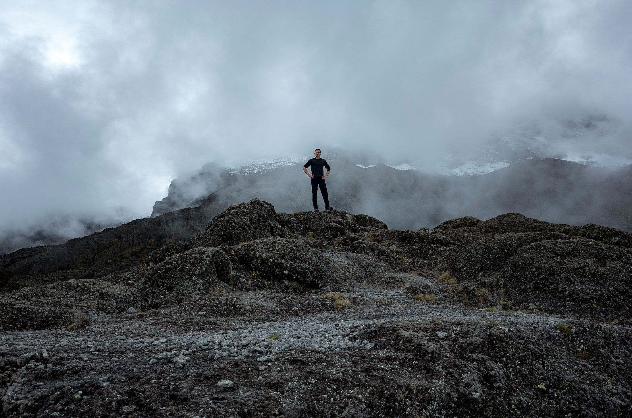
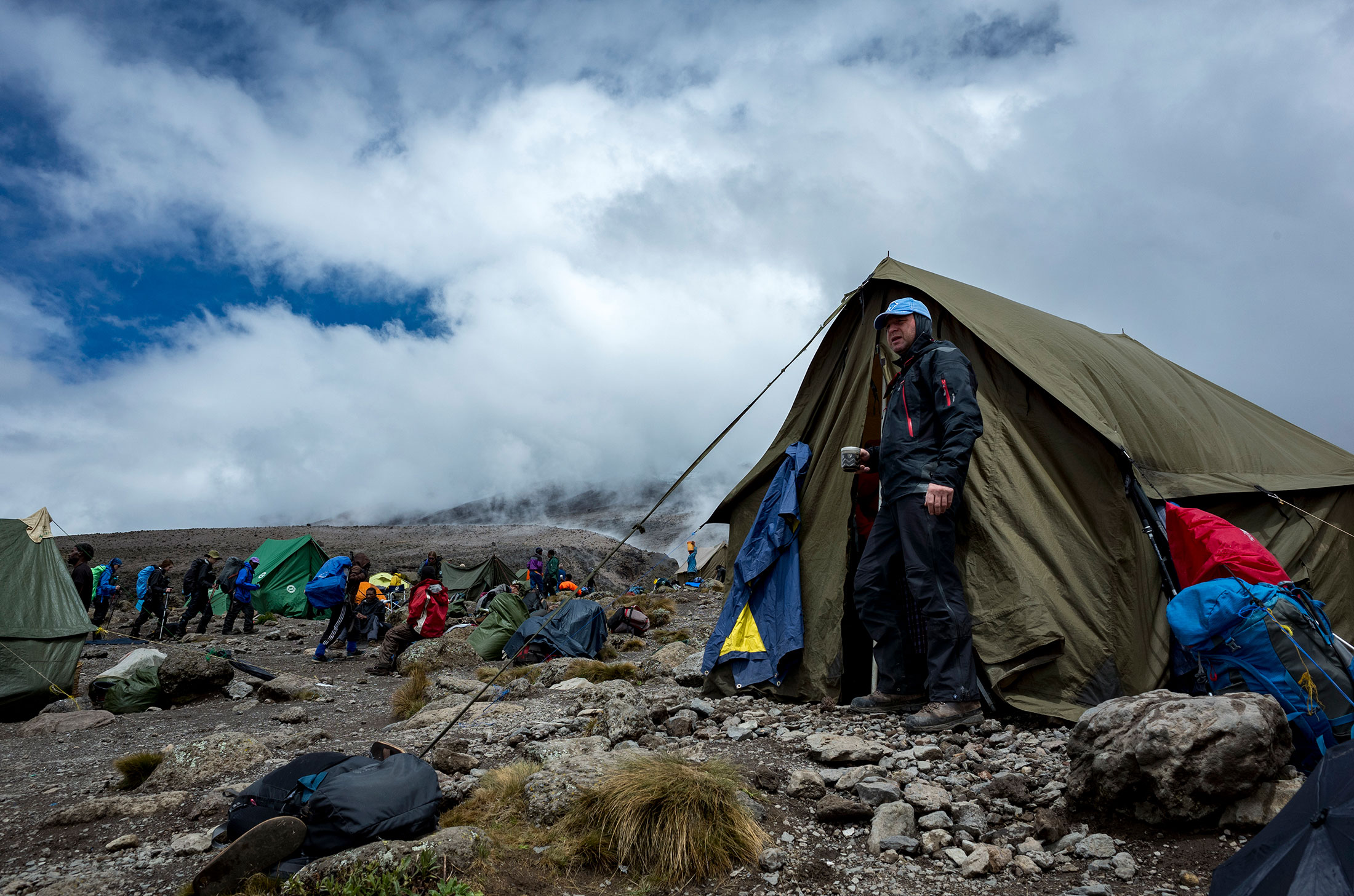
Ascent – Day 4
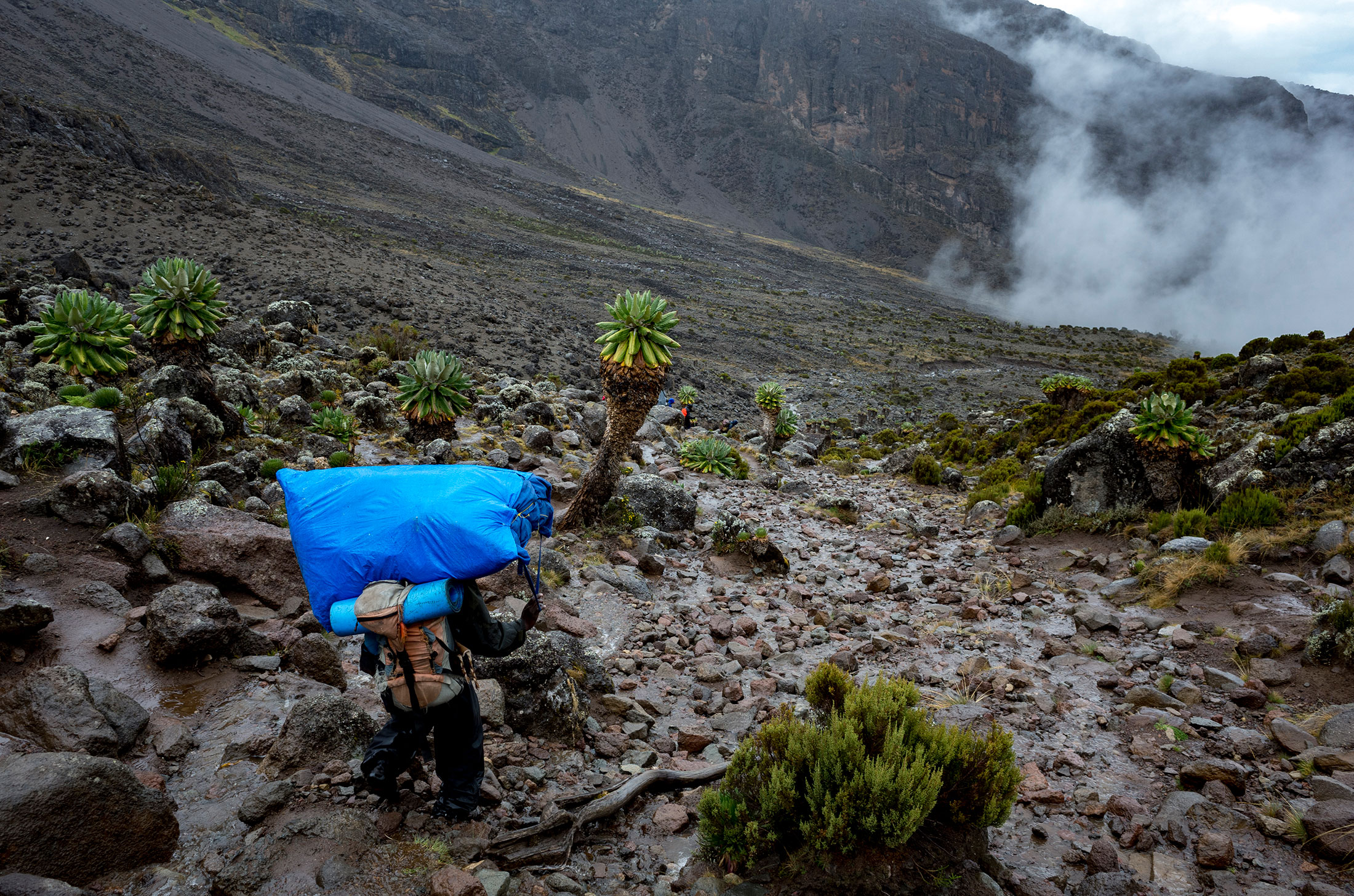
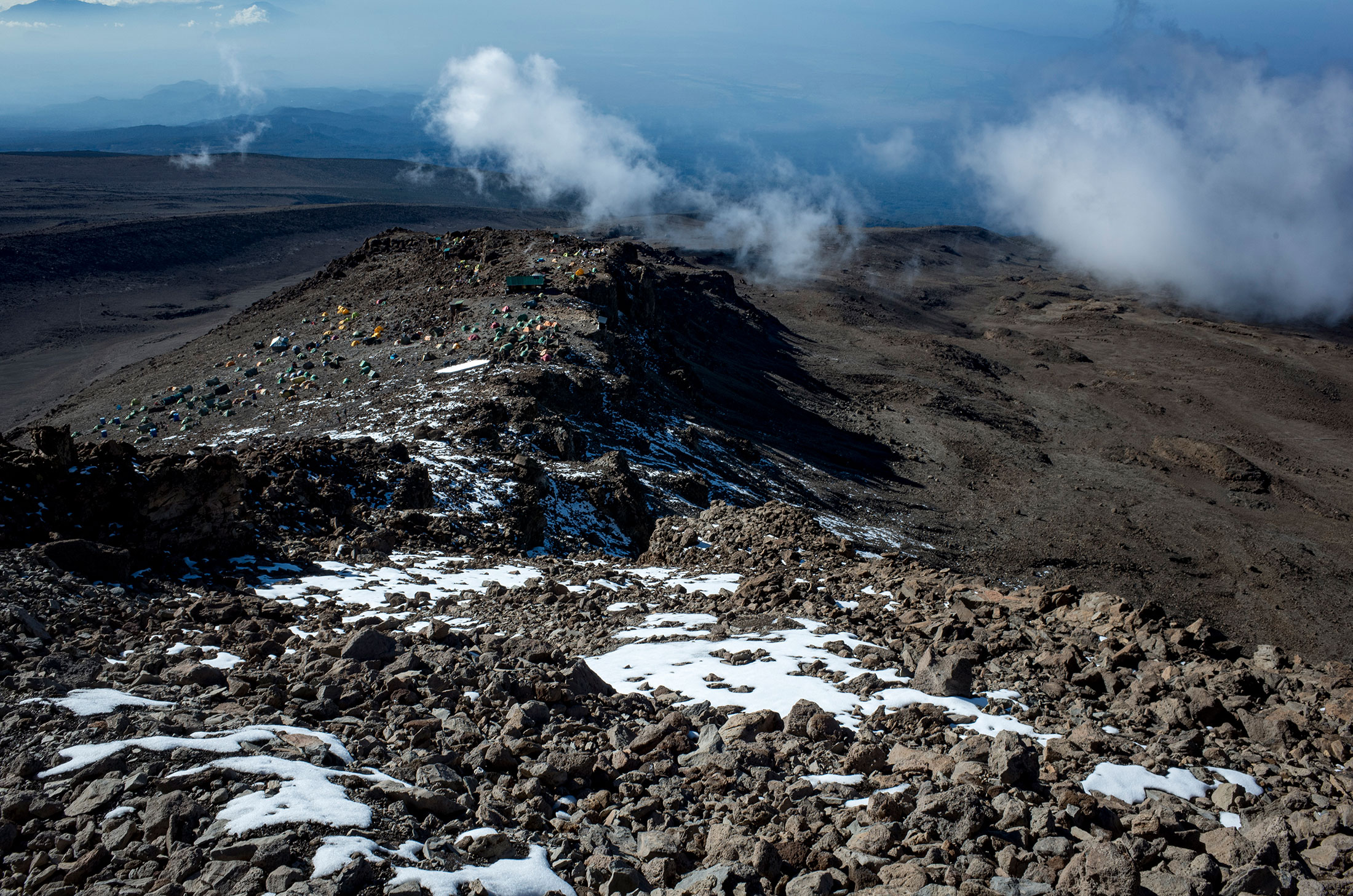
Route: Barranco Camp to Barafu Camp
Distance: 9.4km (5.8mi)
Starting elevation: 3,984m (13,071ft)
Ending elevation: 4,681m (15,300ft)
Elevation gain: 697m (2,223ft)
Time: ~7-8hrs
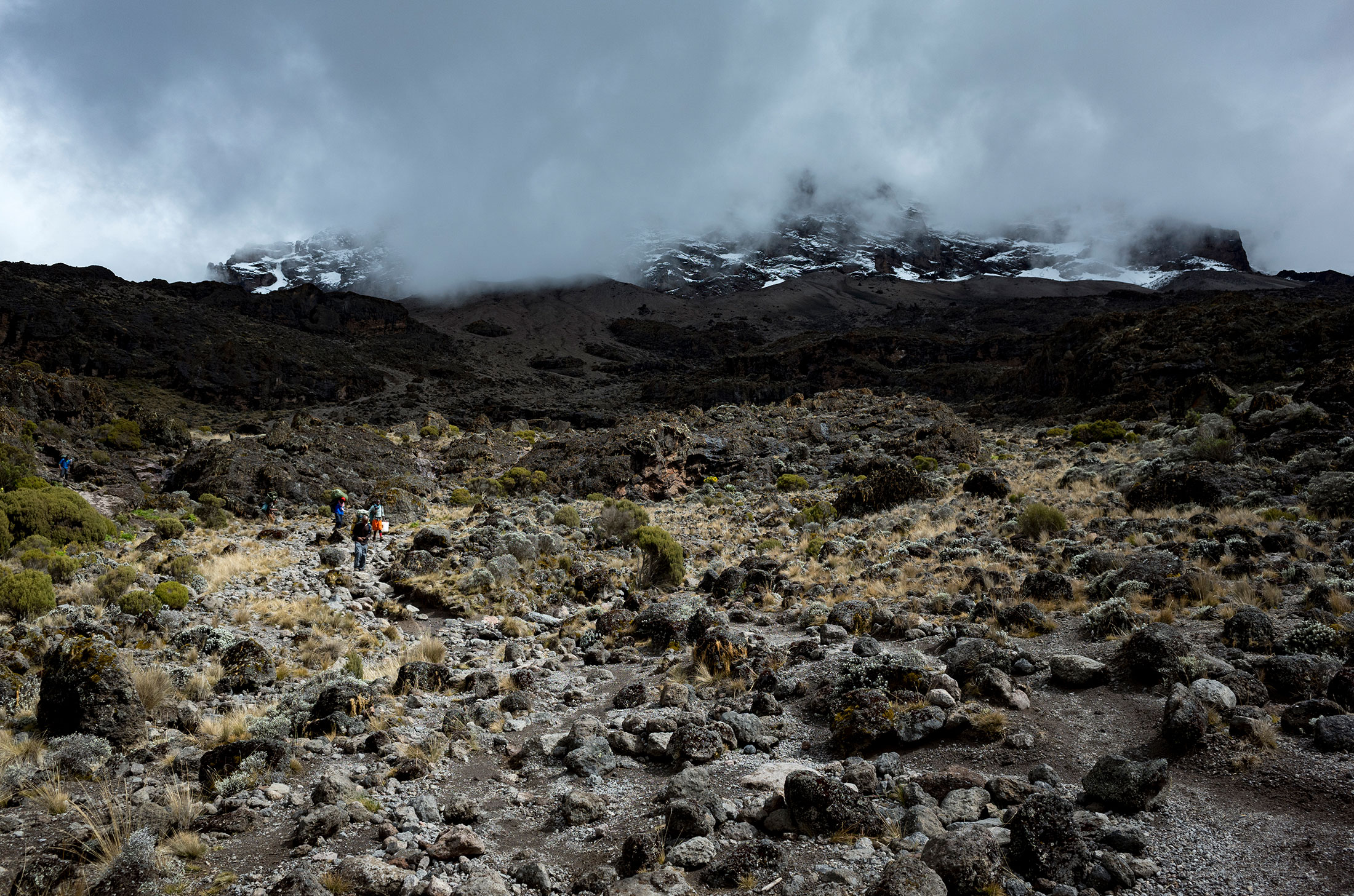
Habitat: Alpine desert
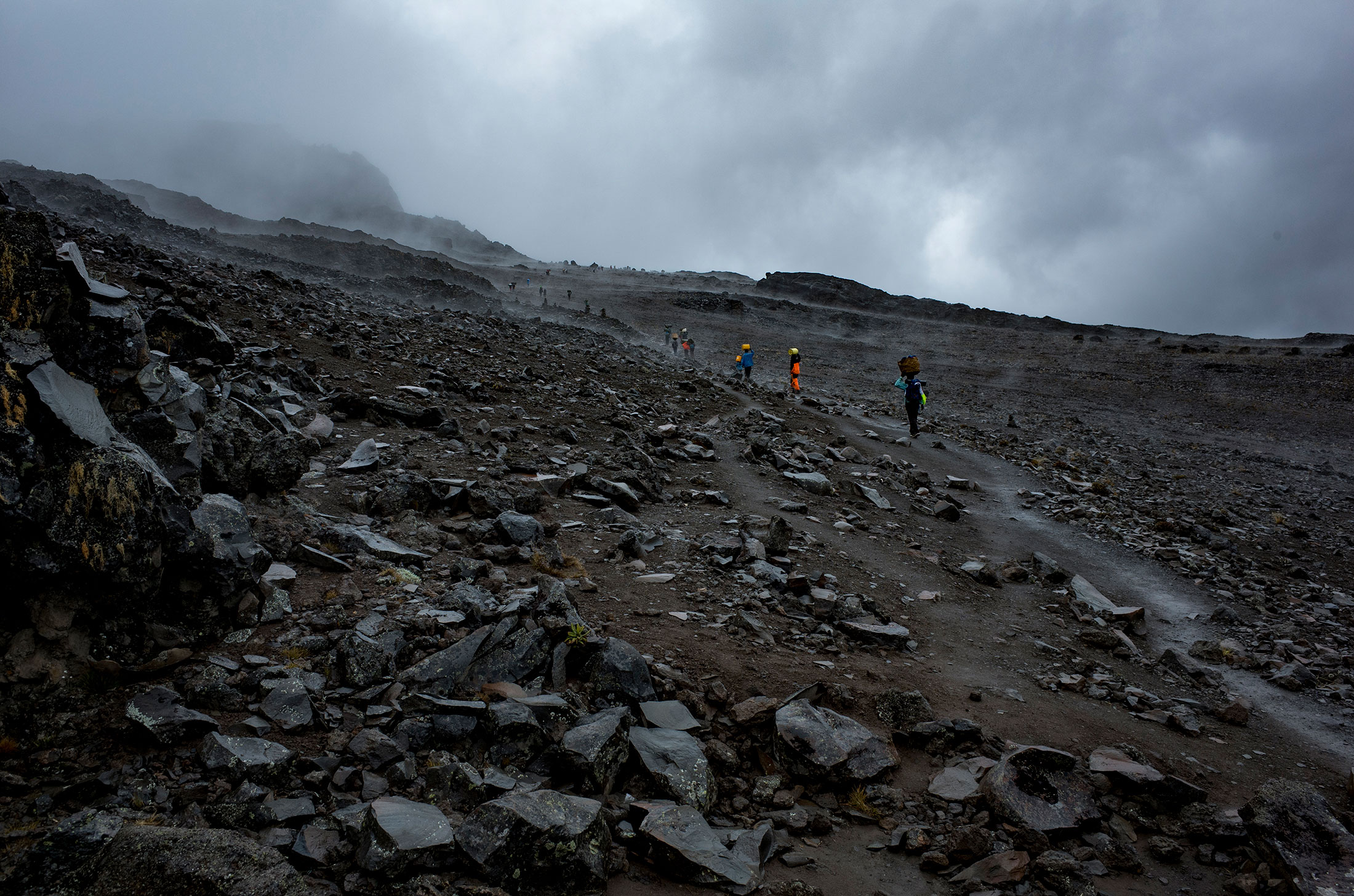
Ascent – Day 5
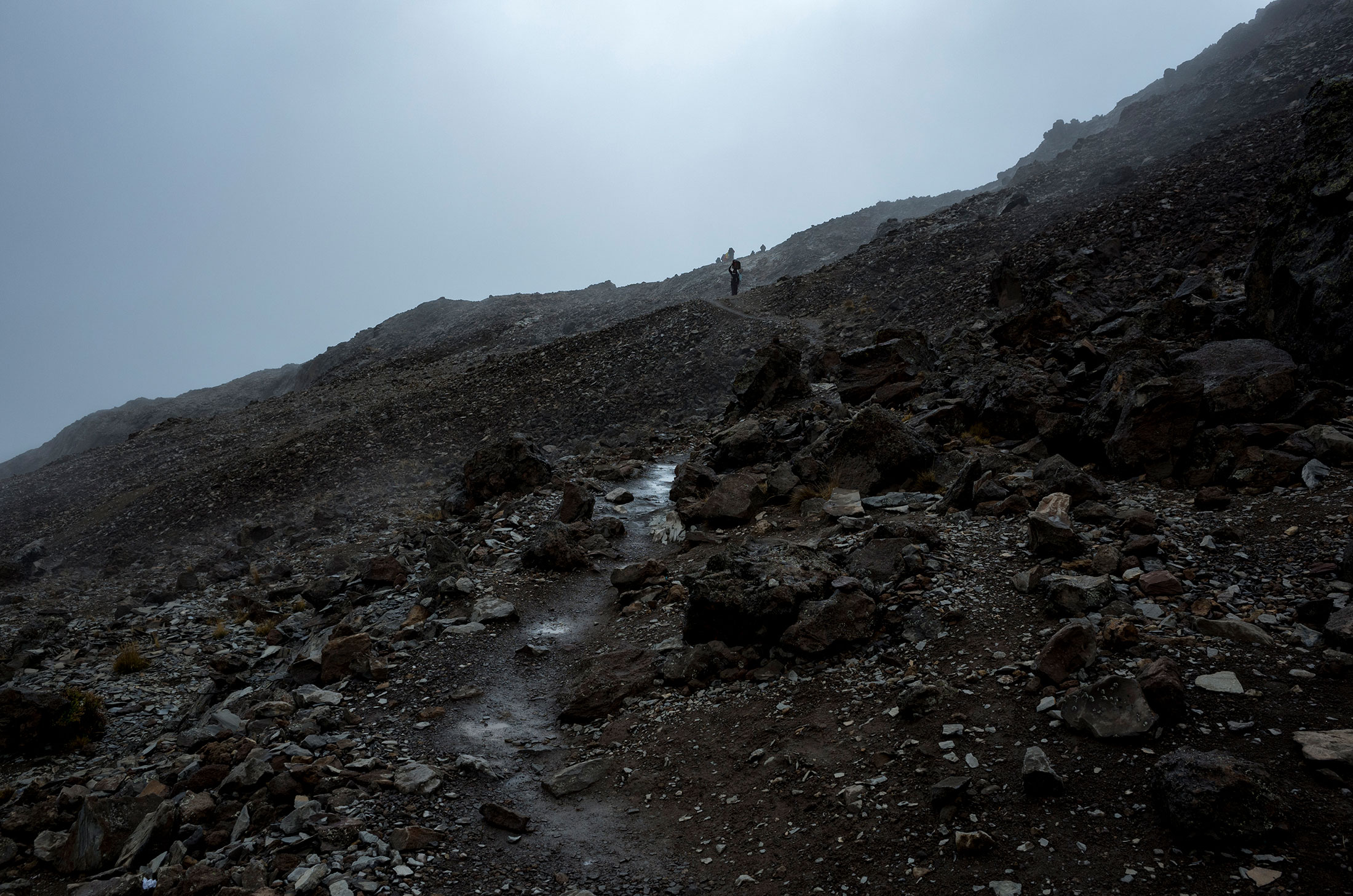
Route: Barafu Camp to Uhuru Peak Summit
Distance: 4.5km (2.8mi)
Starting elevation: 4,681m (15,300ft)
Summit elevation: 5,895m (19,345ft)
Elevation gain: 1,214m (4,330ft)
Time: 6hrs 20min (7-8hrs is average)
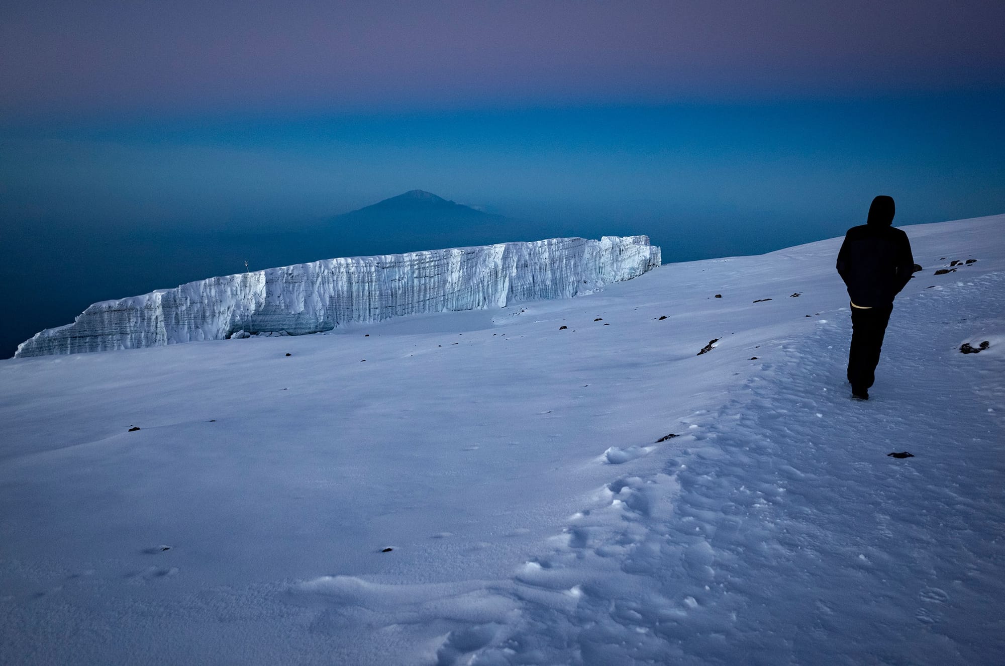
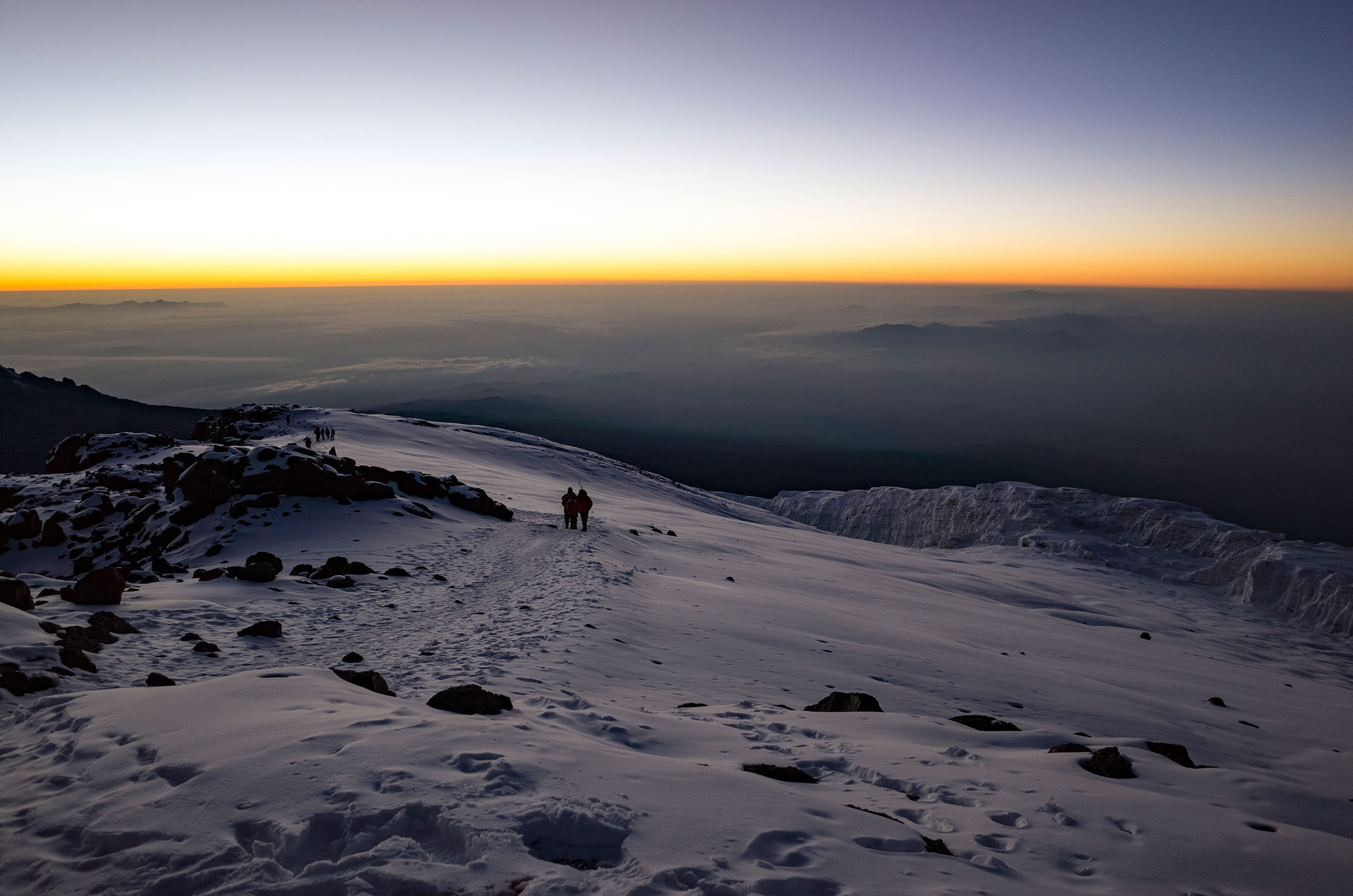
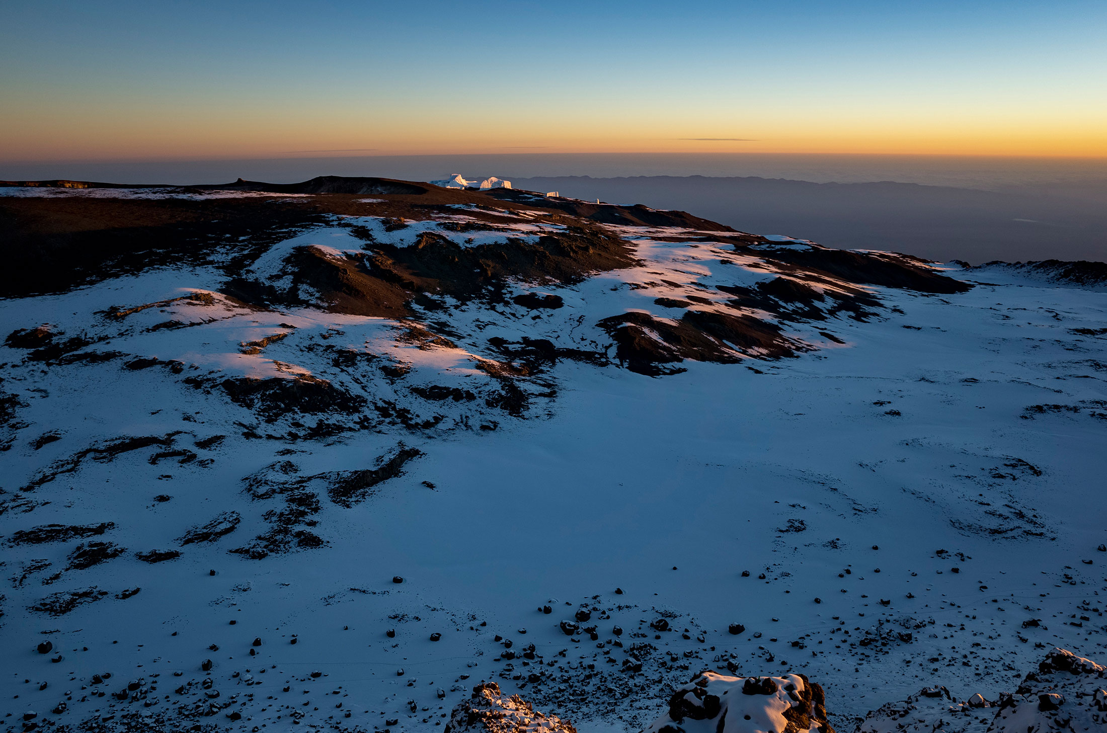
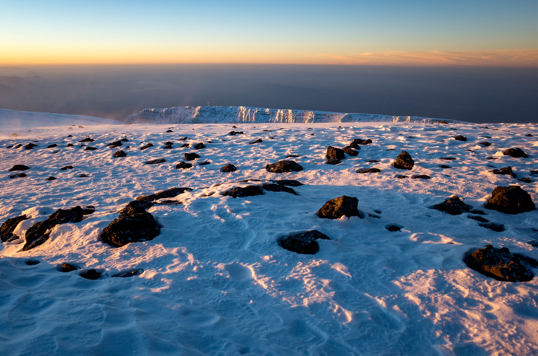
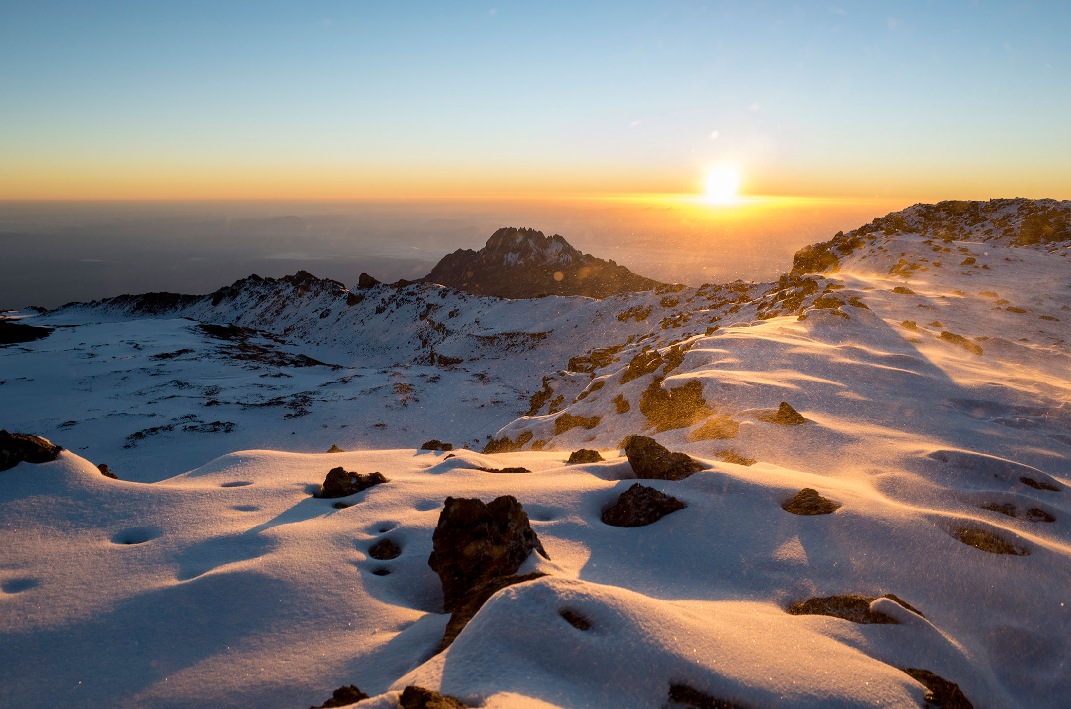
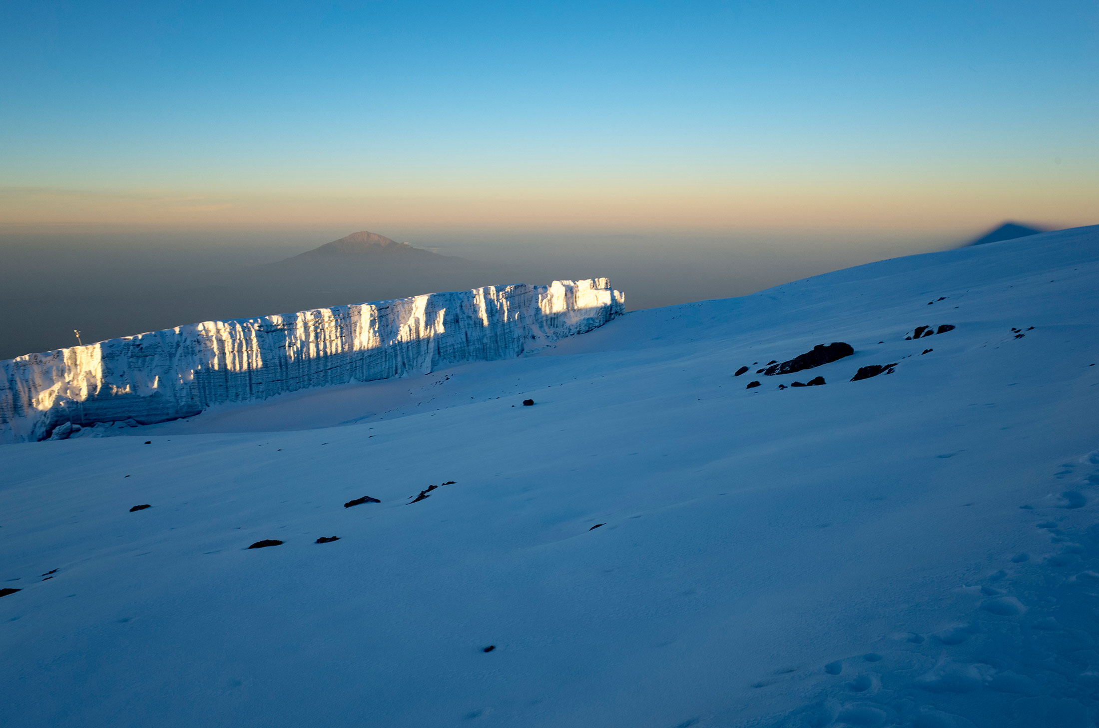
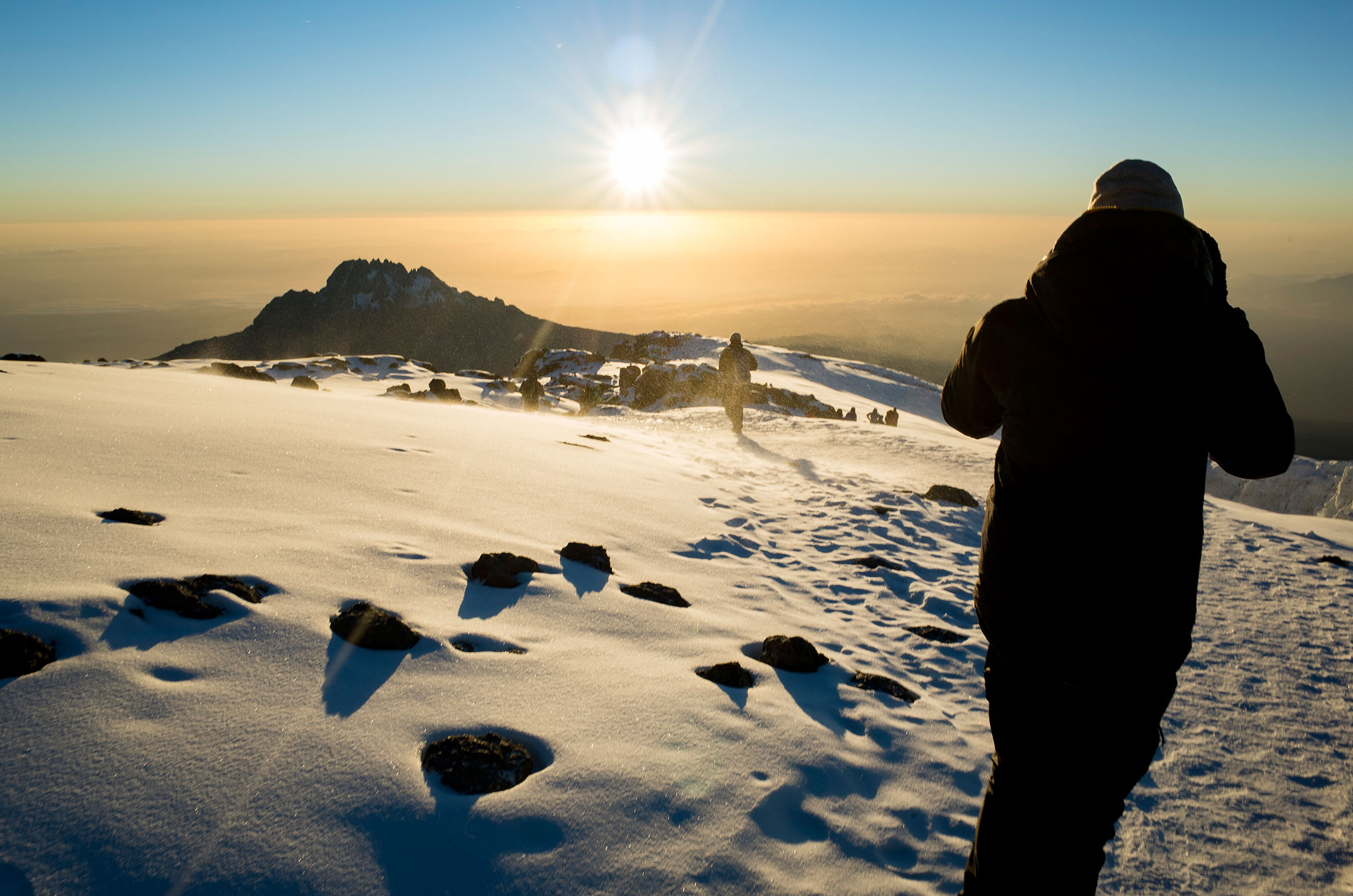
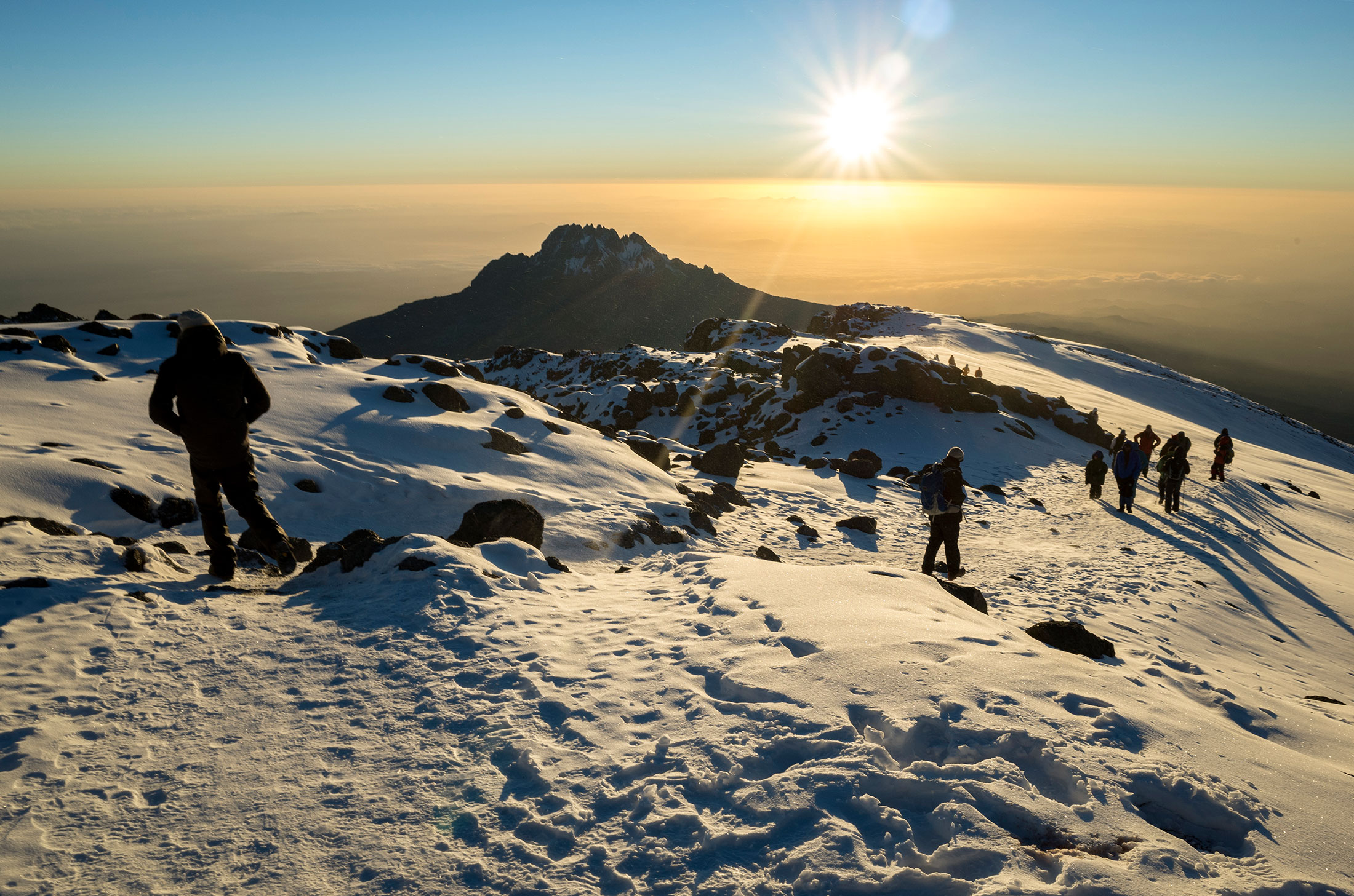
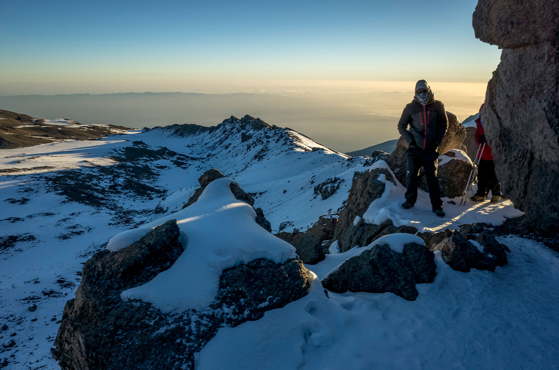
Habitat: Stone scree and ice-capped summit
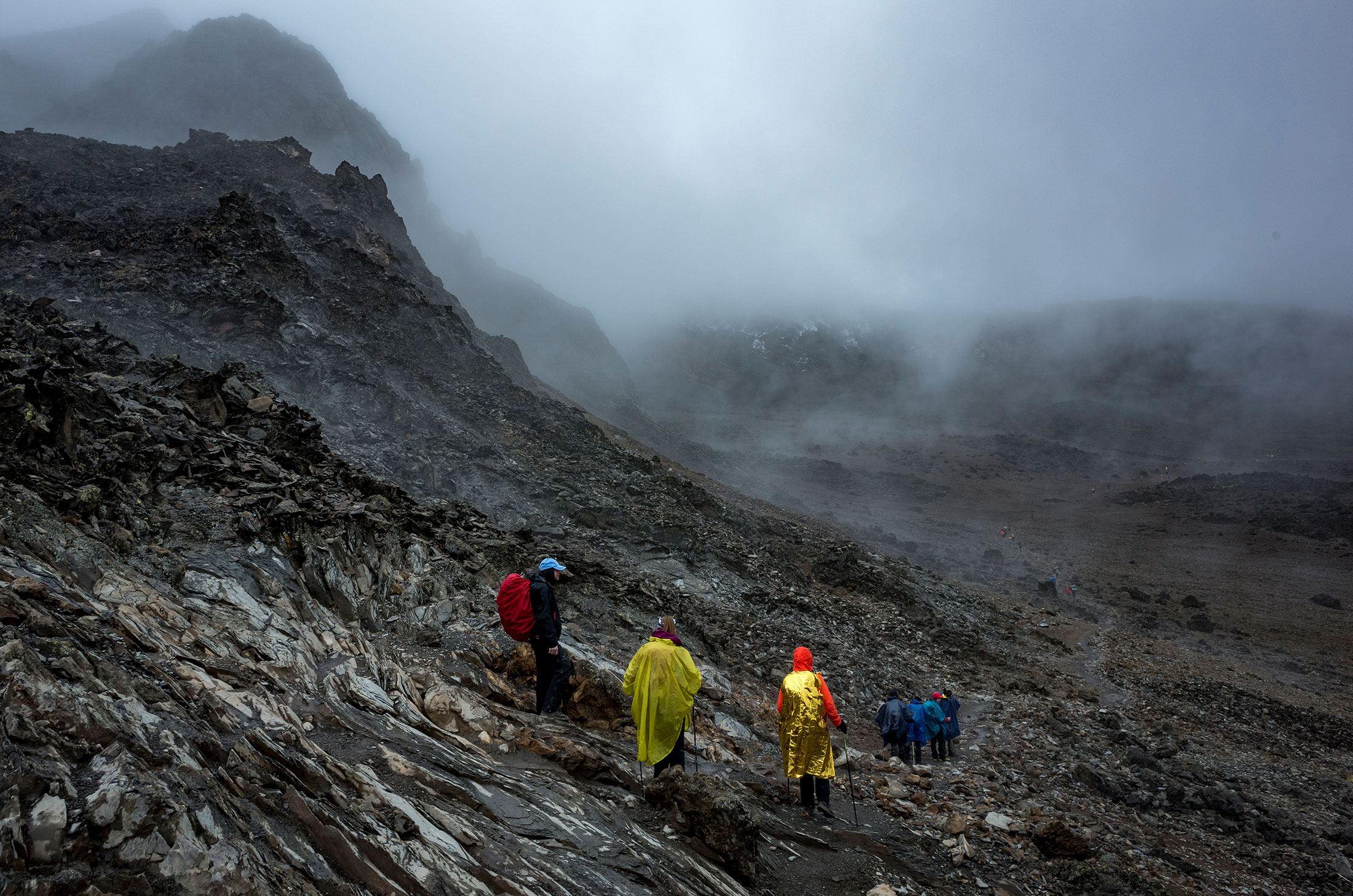
Conditions encountered: When we left Barafu Camp, it was snowing and quite windy. I did not bring shell gloves or liners on the trip, although I wish I had. My fingertips definitely had frostnip later that morning!
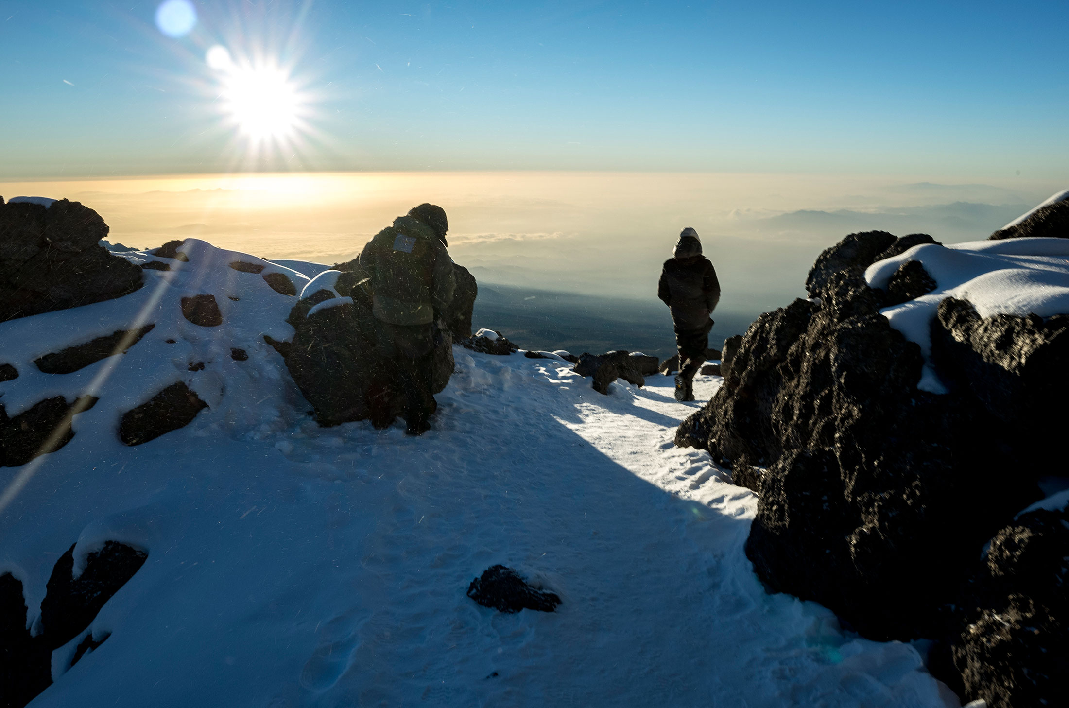
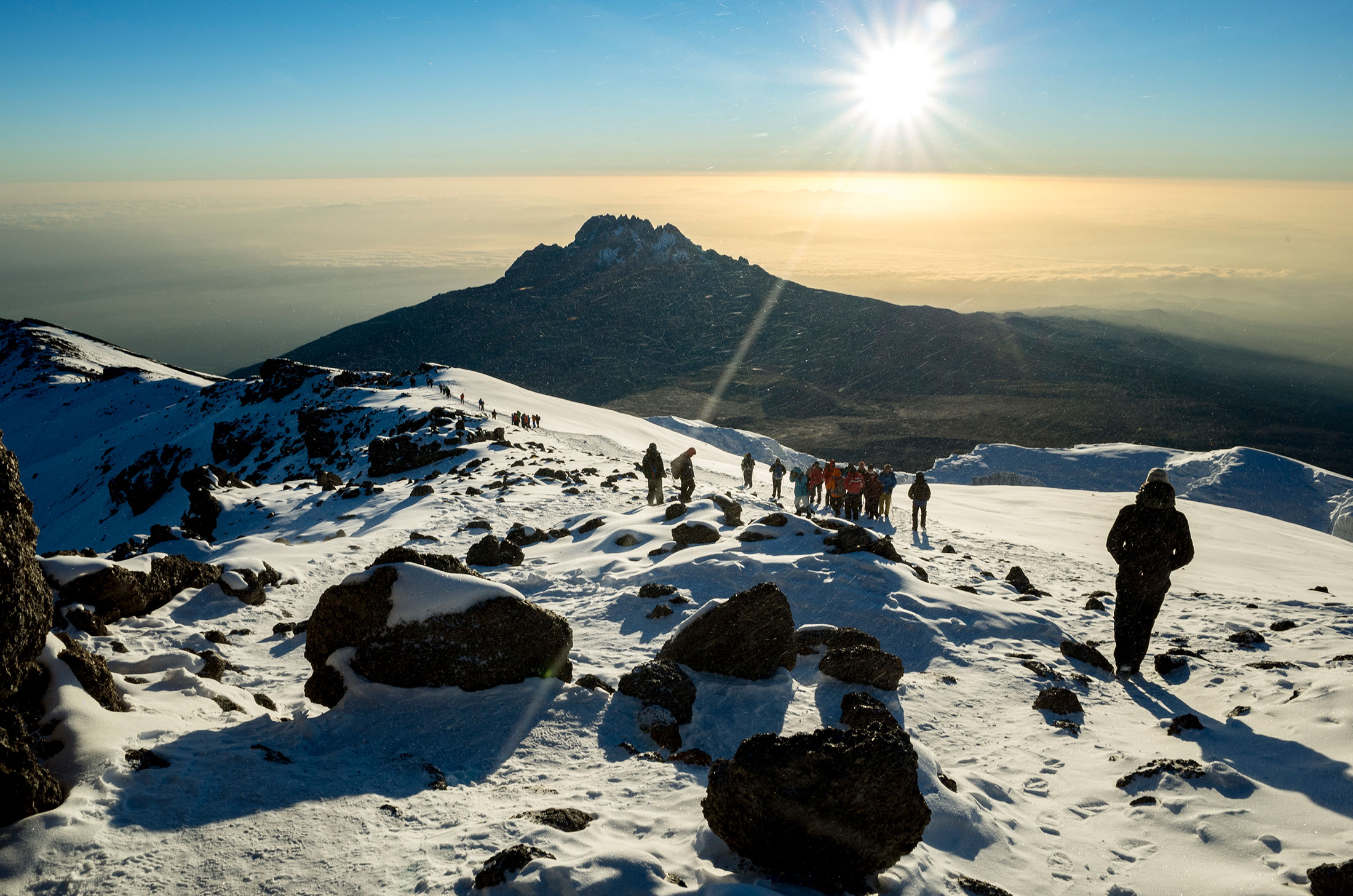
One of our guides noticed I was itching to move faster than the other trekkers to stay warm, so he led me ahead of the group. Rather than take the switchbacks, though, we cut directly up the side of the mountain, bypassing all of the other teams. The altitude hit me hardest just before Stella Point – 5,752m/18,871ft. We stopped to grab some water, and I noticed my Nalgene was frozen (my other .5L Nalgene was already empty). Thankfully I had spent months doing weekend runs on the Appalachian Trail with little water, so the roundtrip from Barafu to Uhuru on ~ .5L of water was not a problem. I would recommend the average trekker have two full 1L Nalgenes for the summit bid.
I reached the Uhuru Peak summit on January 3, 2017 at 6:20am – just in time for sunrise.

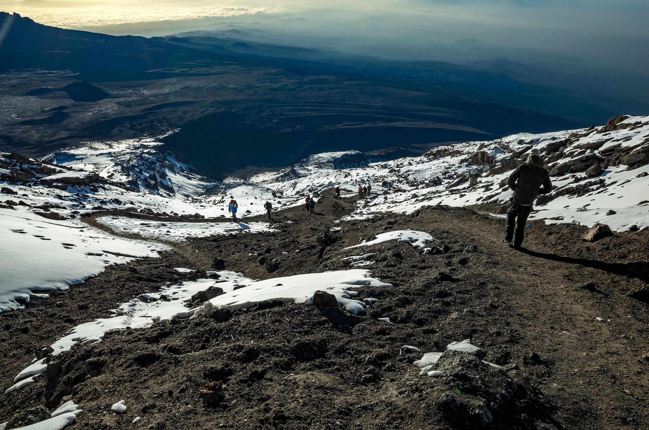
Descent – Day 5
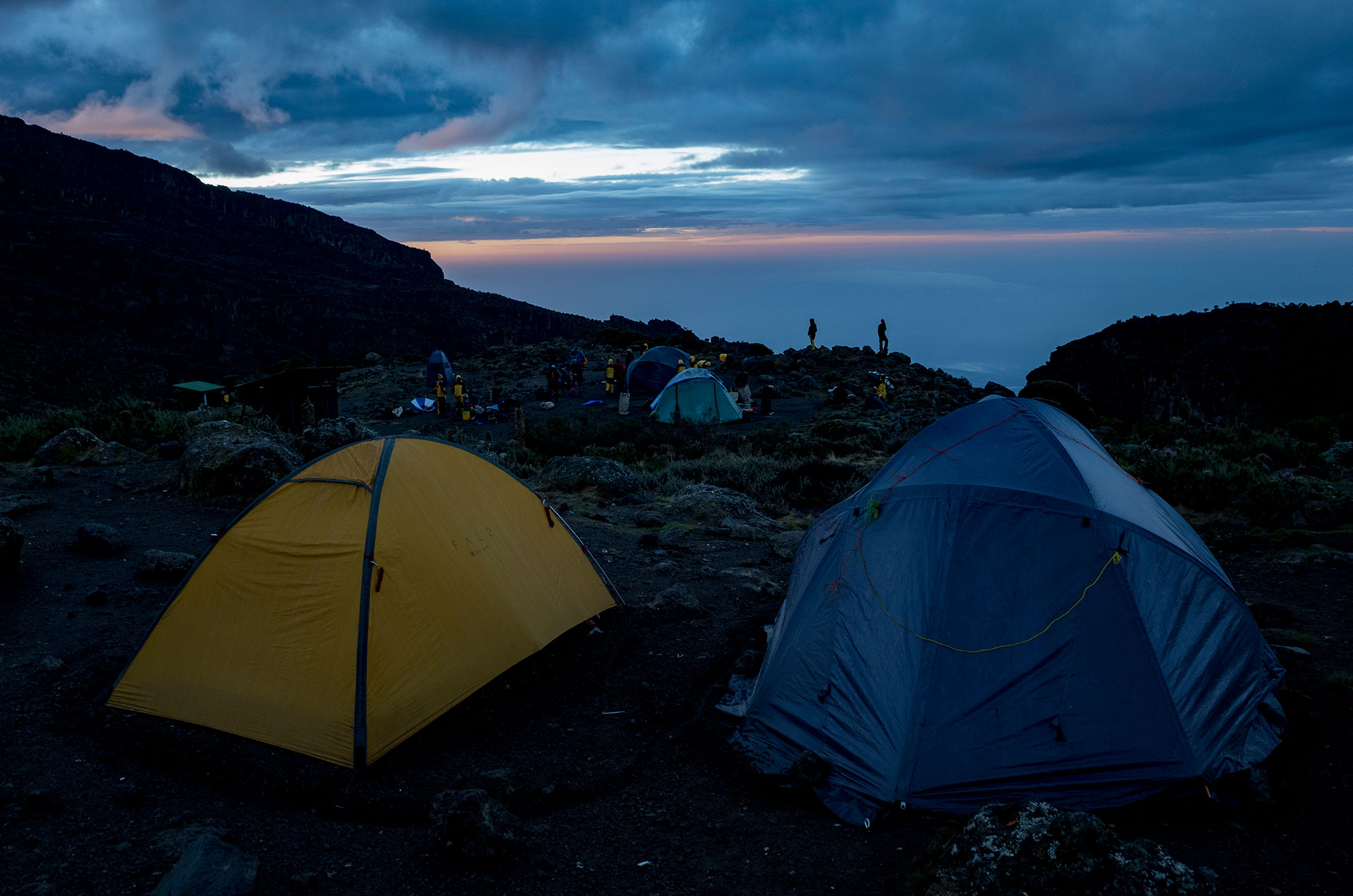
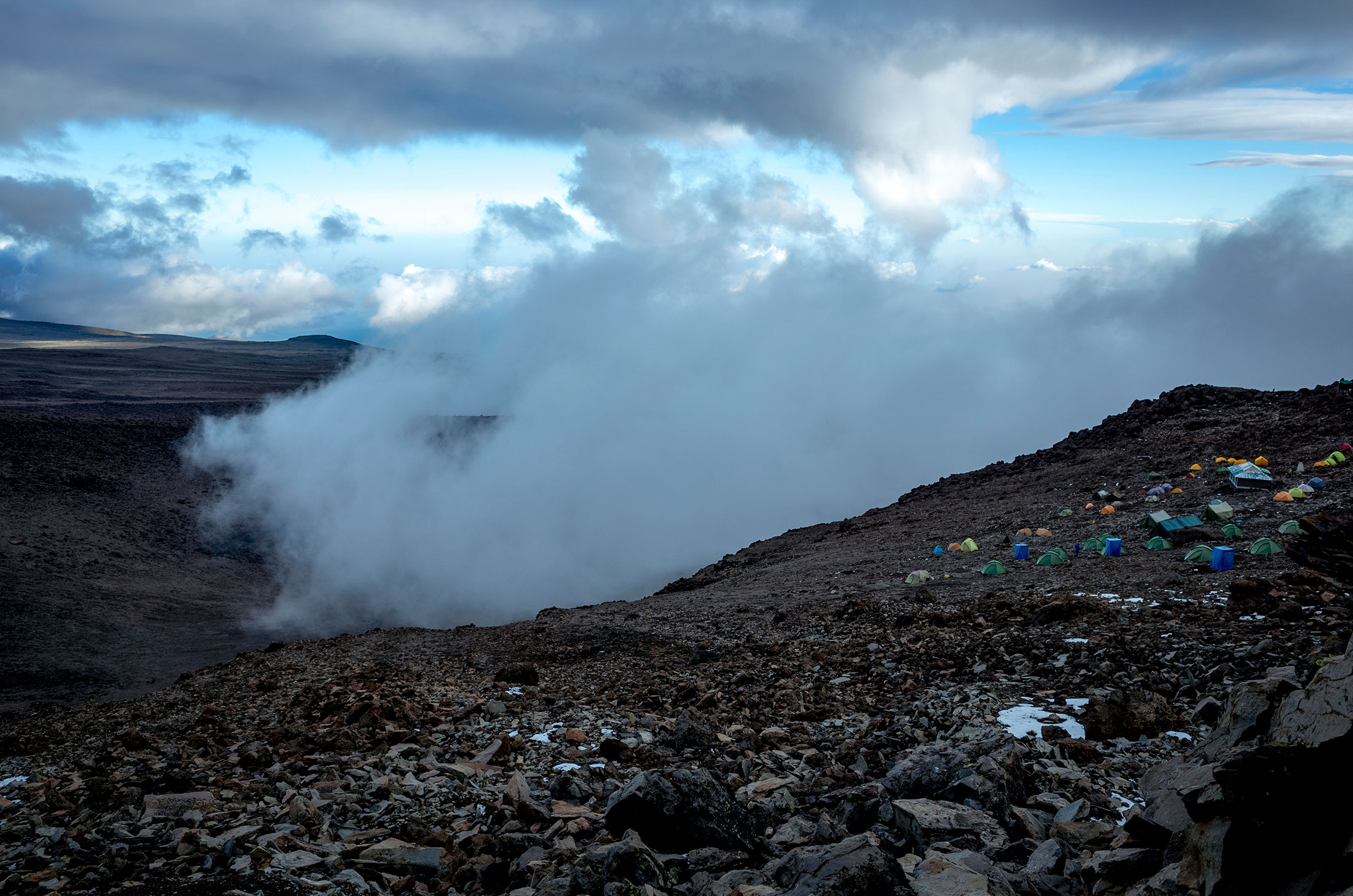
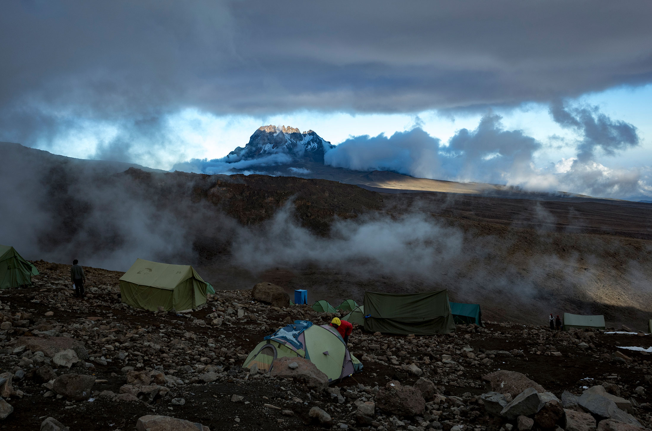
Route: Summit to Barafu Camp to Mweka Camp
Distance: 10.8km (6.7mi)
Starting elevation: 5,895m (19,345ft)
Ending elevation: 3,090m (10,150ft)
Elevation change: 2,805m (9,195ft)
Time: ~2-3hrs to Barafu and ~3-4 hours to Mweka Camp
Descent – Day 6
Route: Mweka Camp to Mweka Gate
Distance: ~8.5km (5.3mi)
Starting elevation: 3,090m (10,150ft)
Ending elevation: 1,641m (10,150ft)
Elevation change: 2,805m (9,195ft)
Time: ~4-6hrs
Habitat: Forest